November 2022
INDOT’s Office of Traffic Statistics has published several traffic data resources on INDOT’s website and updated many with data from 2021.
Fascinating information about INDOT traffic is broken down by city, county, and road type annually as far back as 1992.
INDOT’s “Historic Vehicle Miles Traveled (VMT) by County” table shows information on all 92 Indiana counties. For instance, the table displays that in 1992, the VMT, or total daily travel, measured 3.3 million a day in Hamilton County; in 2021, the VMT in the county measured 10.88 million a day.
The Hamilton County statistics can be broken down even more by the “Historic VMT by County and Systems” table, which displays the annual VMT values in the county from 2006 to 2021 by type of road: INDOT’s interstates, U.S. routes, and state roads, as well as county roads and city streets. The table also shows mile lengths for each of these types of roads and the VMT for commercial vehicles.
The “Travel by City, County, and Functional Class” table crystallizes data by displaying annual statistics for every city in every Indiana county from 2015 to 2021. Last year, which Hamilton County community had more traffic on all roads: Carmel or Fishers? The table proves that, despite the cities’ almost exactly equal population, Carmel had far more VMT: 2.44 million to 1.84 million. The numbers are even broken down by functional class (interstates, other freeways and expressways, principal and minor arterials, major and minor collectors, and local roads).
All three of these tables are listed under the Traffic Data webpage.
“Our team has worked hard to collect, summarize, and interpret this information,” said Traffic Statistics Supervisor Greg Katter. “The data is used to assess transportation needs and system performance, and to develop highway planning and programming
recommendations. Traffic data also plays an important role in route planning and the design of highway projects.”
INDOT operates two traffic-monitoring systems that the Statistics team uses to gather data: a statewide traffic monitoring system and statewide coverage count program.
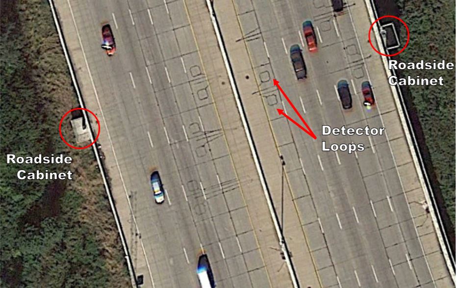
· Statewide traffic monitoring system: This consists of 135 permanent continuous count stations that collect volume, speed, and vehicle classification data 24 hours a day. Some of these sites also use weigh-in-motion technology to collect continuous truck weight data. Information from these counters is used to determine annual traffic growth trends and develop axle, and day of week.
· Statewide coverage count program: Portable pneumatic road-tube traffic counters are used to collect 48-hour traffic counts. The program operates on a two-year cycle for interstates, and a three-year cycle for other state-owned routes and many non-state-owned urban and highly traveled rural routes that are federal-aid-eligible routes. One-third of all sections, or approximately 8,000 of the 25,000 count sites, are collected annually. Portable classifiers accentuate the road-tube counters so that 65% of all coverage counts collected are classification counts. INDOT also contracts with some Metropolitan Planning Organizations and Regional Planning Organizations to collect coverage count data within their areas. Additionally, INDOT contracts with consultants. The 48-hour counts are averaged to 24 before AADT is determined by using factors developed from continuous traffic counters.
The Traffic Data webpage also includes a guide to identify the state’s 135 continuous count sites.
Photo Gallery: Click To Enlarge