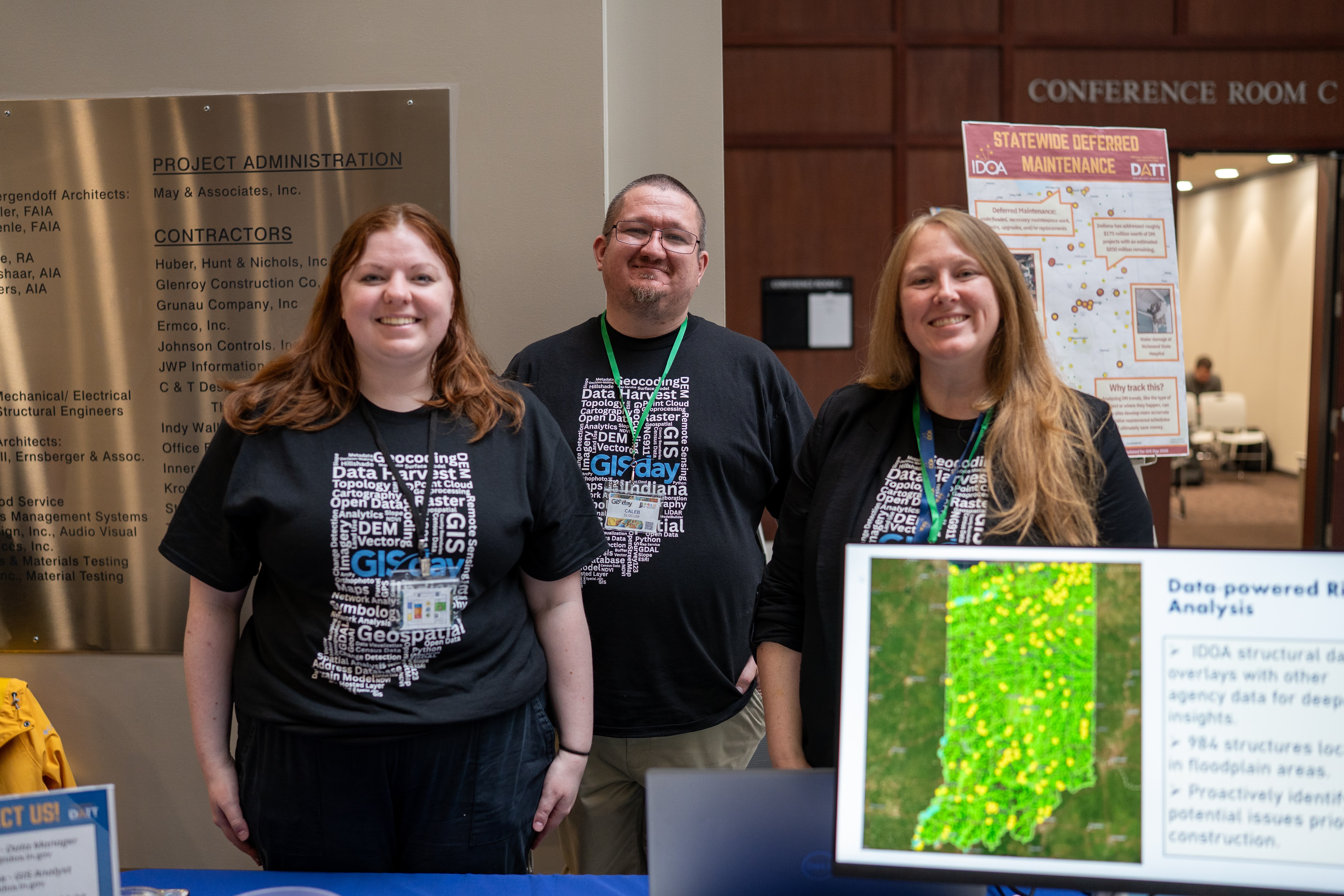
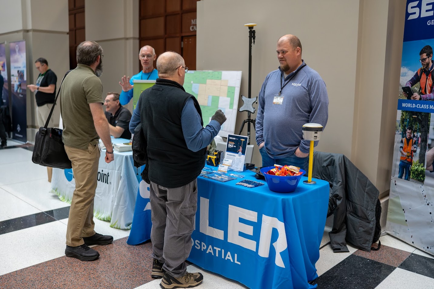
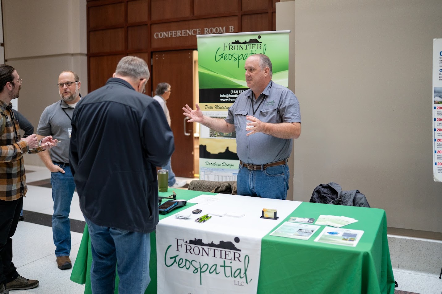
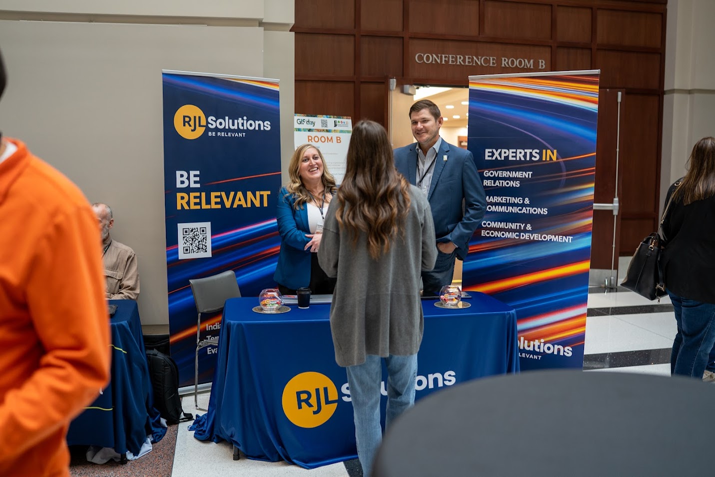
Note: This message is displayed if (1) your browser is not standards-compliant or (2) you have you disabled CSS. Read our Policies for more information.
2013 Indiana GIS Day & Conference

GIS -
(Where do I Start?)
When GOOD Maps
Go WRONG
How to Unlock the GIS Data Vault - and other Super Secret GIS Mysteries
Revealed!
Meet Your GIS Partners
Arc Hydro: GIS for Water Resources
And many more!
Geographic information systems (GIS) have become an integral tool in state agencies and local governments where they are used to support decision making in the public interest.
Explore the innovative ways GIS is used to improve government operations. GIS has the unique capability to help explain large amounts of information via maps and graphics using location information. Cross agency applications appear seamless when data is merged into a GIS. See the many new avenues for using this increasingly important technology.
Issue permits
Plan transportation projects
Share information with the public
Study flooding
Prepare for and respond to emergencies
Understand environmental issues
Study water quality
Track health issues
Inventory assets
Understand public needs
Plan new programs
Promote economic development
Everyone who plans, manages, or performs activities similar to those above will benefit from attending this event. Presentations and resources are for all GIS users and pursuers of all levels!
|
Jim Sparks Office: (317) 234-5889 |
Amanda O'Daniel Office: (317) 234-4111 |