About Natural Hazards Planning
Natural hazards planning is responsible for all state planning developments, and maintenance services related to the following emergency management areas:
- Catastrophic Earthquake Annex
- Wabash Valley Seismic Zone (WVSZ) Earthquake Plan
- New Madrid Seismic Zone (NMSZ) Earthquake Plan
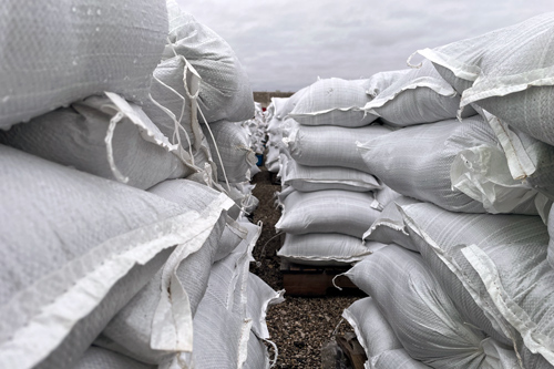
- Flood Response Annex
- Severe Weather Annex
- State Emergency Operations Plan (EOP) – Emergency Support Functions (ESFs)
- ESF-5: Information and Planning
- ESF-11: Food, Agriculture and Natural Resources
- State Hazard Mitigation Plan (IDHS Recovery)
- Animal Emergency Poultry Disease Plan (BOAH)
- Avian Pathogenic Influenza Plan (BOAH)
Natural hazards planning also includes providing direct support services to the State Emergency Operations Center (SEOC) before and during activations, exercises and trainings. For example, when damaging tornadoes affect the state, the natural hazards planner works in the SEOC as the planning section chief, overseeing mapping needs, documentation of the incident and tracking relevant information that is useful both during the response and afterward for updates to plans. Management of these plans directly contributes to future successful responses, recoveries and the resilience of Indiana's communities after incidents and disasters.
This area of planning also works regularly with various agencies for planning needs, collaboration or assistance. These include the Indiana Geological and Water Survey, Indiana State Climatologist, Indiana Department of Natural Resources, Indiana National Guard, Central United States Earthquake Consortium, National Weather Service and Federal Emergency Management Agency (FEMA).
Highlight
Natural hazards planning covers a wide scope of work. Below is one of the areas.
- Earthquake Program

IDHS manages the state's earthquake program. It is supported and funded in part through the National Earthquake Hazards Reduction Program (NEHRP) state assistance program and FEMA grants.
Individual State Earthquake Assistance
Indiana uses FEMA grants because it has a high to very high seismic risk. The funds support IDHS earthquake hazards reduction programming and the implementation of earthquake safety, mitigation and resilience activities, such as the following:
- Seismic mitigation planning
- Preparation of inventories and seismic vulnerability evaluations and safety inspections of buildings, critical structures and lifeline infrastructure
- Updates to building codes, zoning codes and ordinances to enhance seismic safety
- Increase of earthquake awareness and education
- Participation in emergency management exercises that substantially benefit earthquake mitigation efforts
- Promotion of earthquake insurance
- Assistance to multi-state groups
Quake Cottage
Indiana has an earthquake simulator that can be used for educational outreach events. The simulator, which has been used at schools and fairs, is on a trailer and gives participants the chance to feel what earthquakes are like at different magnitudes. Contact planning@dhs.in.gov to request the simulator for your event.
International Great ShakeOut Earthquake Drill
IDHS encourages Hoosiers to participate in the annual Great ShakeOut Earthquake Drill every third Thursday of October. During the self-led drill, practice how to drop, cover and hold on. Learn more about earthquake safety on GetPrepared.in.gov. Register your group and find additional resources at ShakeOut.org.
Did You Know?
Resources
- Central United States Earthquake Consortium
- Indiana Burn Ban Map
- Indiana Geological and Water Survey
- National Weather Service Forecast Offices
- NOAA Storm Prediction Center Day 1 Convective Outlook
- NOAA Water Prediction Service
- Tornado History Viewer
- U.S. Drought Monitor
- U.S. Geological Survey Latest Earthquakes
- Weather Map Images