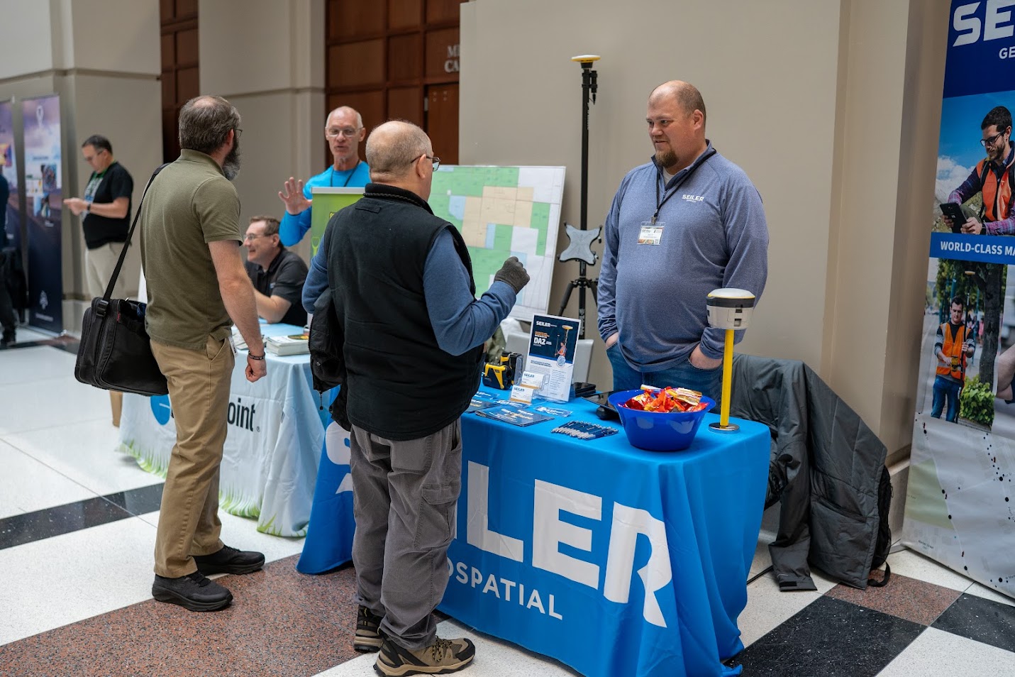
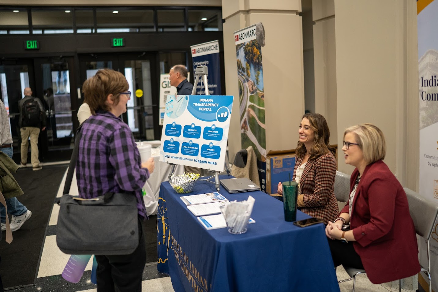
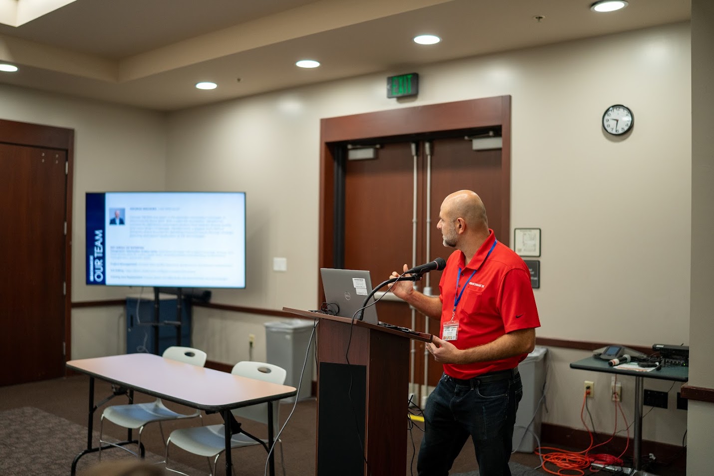
Join us in downtown Indianapolis for a full day dedicated to Geographic Information Systems (GIS). Whether you're a GIS professional, student, or simply someone interested in the field, this event offers something for everyone. Through presentations from experts and interactive sessions, you'll leave with new skills, insights, and connections.


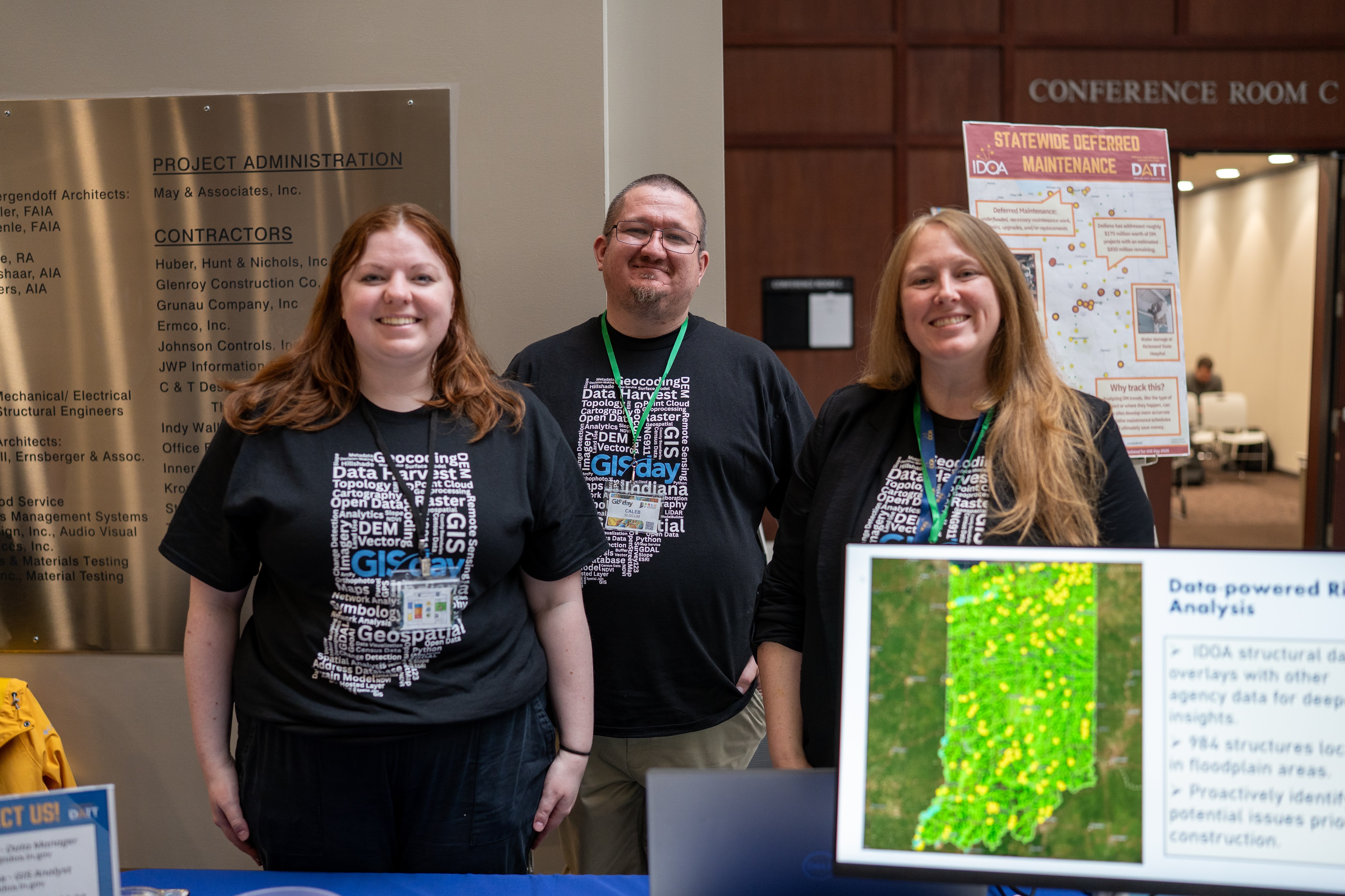


GIS Day 2026 is well on its way!

Vendor registrations are open. Register Here
When and where is GIS Day 2026?
- Date: November 18th, 2026
- Time: 8 am
- Location: 302 W Washington St, Indianapolis, IN 46204 at the Indiana Government Center South building
Who Should Attend?
- GIS Professionals
- State and Local Government Offices
- Educational Institutions
- Nonprofits
- GIS Enthusiasts
- Students
What to Expect:
- Discover innovative GIS applications in real-world state initiatives
- Gain practical skills you can bring back to your team
- Connect with GIS professionals, students, and enthusiasts from across Indiana
- Explore career pathways and network with public sector leaders
- Students are especially encouraged to attend and see how GIS is shaping fields from environmental science to public health, emergency response, transportation, and beyond!
Copies of the presentation slides from GIS Day 2025 can be accessed here: GIS Day 2025 Slides
GIS Day will be held at 302 W Washington St, Indianapolis, IN 46204 in the Indiana Government Center South building.
Visit Indy has developed a great resource for navigating public transportation options in downtown Indianapolis.
If you plan to drive, here is some information on where to park:
Please note that parking validation is not offered for this event unless you are a currently enrolled student with a valid student ID.
Street Parking
Street Parking is available along W Washington St in front of Indiana Government Center South and the south side of the Indiana State Capital Building. 5-hour max parking @ $2.00 an hour.
| Duration | Cost |
|---|---|
| 0 - 1 Hour | $2.00 |
| 1 - 2 Hour | $4.00 |
| 2 - 3 Hour | $6.00 |
| 3 - 4 Hour | $8.00 |
| 4 - 5 Hour | $10.00 |
| 5 - 6 Hour | Not Permitted (5 Hour Maximum) |
West Ohio Street Garage
151 W Ohio Street, Indianapolis, IN 46204
6-minute walk to the Indiana Government Center South (0.3 miles)
| Duration | Cost |
|---|---|
| 0 - 1 Hour | $6.00 |
| 1 - 2 Hour | $9.00 |
| 2 - 3 Hour | $12.00 |
| 3 + Hour | $16.00 |
Court Street Garage/ Claypool Court Garage
33 N Capitol Avenue, Indianapolis, IN 46204
3-minute walk to the Indiana Government Center South (0.1 miles)
| Duration | Cost (According to Parkopedia) |
|---|---|
| 1 Hour | $10.00 |
| 12 Hours | $25.00 |
| 24 Hours | $44.00 |
Market Tower Parking
139 N Illinois Street, Indianapolis, IN 46202
6 minute walk to the Indiana Government Center South (0.3 miles)
| Duration | Cost |
|---|---|
| .5 Hours | $3.00 |
| .5 - 1 Hours | $6.00 |
| 1 - 1.5 Hours | $10.00 |
| 1.5 - 2 Hours | $15.00 |
| 2 - 2.5 Hours | $18.00 |
| 2.5 + Hours (Maximum Daily Rate) | $24.00 |
| Enter by 8am (Early Bird) | $10.00 |
Vendors
Please contact our Deputy Director of Programs and Outreach, Steve Aldrich (SAldrich@iot.IN.gov) for additional information on dock deliveries and shipments.
Indiana Geographic Information Office