High Priority Wetland Conservation Sites
As part of the Indiana Wetland Program Plan Development, a tool was developed for identifying and mapping high priority wetlands conservation sites (HPWCS). The intention of this tool is to improve tracking of existing high quality wetland sites and target them for protection (including appropriate buffers). In addition, certain wetlands and geographic areas have been identified as priorities due to ecological significance, high potential benefit, or other needs. In the future the state intends to develop a Geographic Information System (GIS) based interactive model utilizing the HPWCS tool and other available GIS data layers. In the interim we have posted a pdf file of the results for reference.
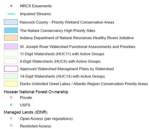
The HPWCS file can be combined with many other layers to tailor conservation aims to specific goals. It can also be used to coordinate efforts among partners and other interested parties. A number of conservation partners are available throughout Indiana to assist in the conservation of these sites. Partners that have conservation goals have been identified and their priority areas have been compiled as part of this file. Users of the HPWCS file should contact the appropriate partner to find assistance and coordinate efforts. Such efforts and assistance could include shared project goals, technical assistance, monitoring, future ownership, and/or leveraged funding. Please note that the state makes no claims about the availability of these sites for conservation, and no landowners have been contacted about their willingness to participate in any conservation efforts.
Priority sites identified in this file include the following:
Potential Wetland Restoration Sites
As part of the Indiana Wetland Program Plan development, a tool was created for identifying and mapping potential wetland restoration sites (PWRS). The tool was developed utilizing Geographic Information System (GIS) software, publically available data layers, and a methodology developed by Meghna Babber-Sebens, et al . The purpose of the mapping tool is to promote wetland restoration throughout the state, and provide the wetland community additional resources to locate potential wetland restoration sites. In the future the state intends to develop a GIS based interactive model utilizing the PWRS tool. In the interim we have posted a pdf file of the results for reference.
The PWRS tool was developed utilizing the following publically available data layers and manipulation sequence.
This PWRS tool can be utilized with other information such as topographic maps, zoning maps, floodplain maps, etc., to prioritize restoration site selection based on the goals and limitations of the project. Identifying potential restoration partners early in the process can benefit the project by combining available resources.
There are several limitations the user needs to be aware of with this pdf file. The state makes no claims about the availability of the sites for restoration. No landowners have been consulted or contacted in this process. In addition, the potential wetland restoration sites have not been ground-truthed. However, a handful of mapped PWRS were checked against previous wetland restoration projects and were confirmed. Finally, this tool does not provide the user with techniques for wetland restoration, which would be determined on a site-specific basis.
- National Land Cover Dataset for Indiana
- National Land Cover Dataset with only Grassland/Herbaceous, Pasture/Hay, Cultivated Crops, Woody Wetlands, and Emergent Herbaceous Wetlands land uses
- Gridded Soil Survey Geographic Database, Drainage Classes dominant condition of somewhat poorly drained, poorly drained, and very poorly drained
- 10-m Digital Elevation Model (DEM)
- Compound Topographic Index (CTI) – function of slope and specific catchment area – identifies upland areas that tend to collect water
- Preliminary Result: Potential Restoration Sites Map (pixels of 0.2 acre or larger)
1) As described in Spatial identification and optimization of upland wetlands in agricultural watersheds (Babbar-Sebens, Meghna et al. Ecological Engineering. 52 (2013) 130-142).