Indiana Shares its Vision in Washington, D.C.
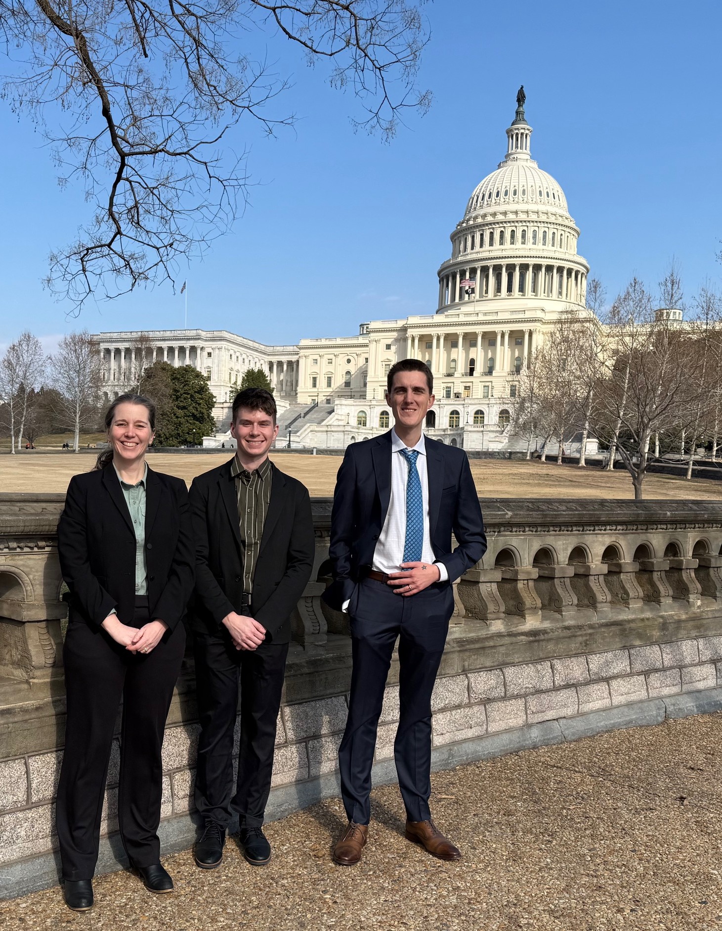
The Indiana Geographic Information Office recently spent a productive week in Arlington, Virginia and Washington, D.C. as part of a national gathering of Geographic Information Officers. Marianne Cardwell, Matt Evans, and Dan Council represented Indiana throughout both the conference and a series of meetings on Capitol Hill. The trip provided valuable opportunities to share Indiana’s geospatial priorities, learn from other states, and strengthen relationships with federal partners.
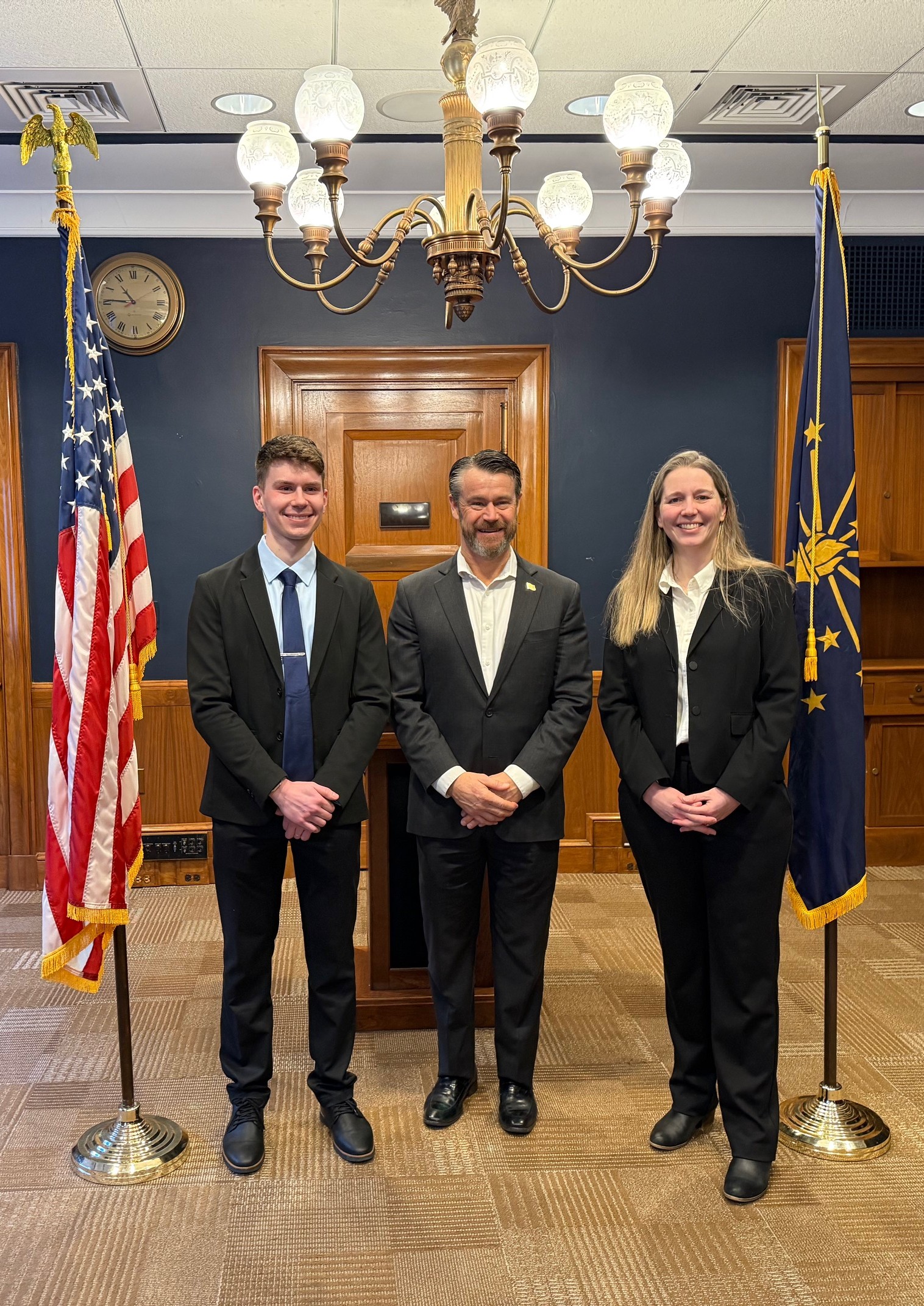
Throughout the week, the team met Senator Todd Young along with staff from the offices of Representatives André Carson, Erin Houchin, Jim Baird, Jefferson Shreve, and Senators Todd Young and Jim Banks. Each conversation focused on the importance of geospatial data for state and national initiatives. These discussions helped elevate the visibility of Indiana’s work and emphasized the value of maintaining strong lines of communication with federal decision makers.
A key topic during the visit was Indiana’s participation in the USGS 3D Elevation Program and the 3D Hydrography Program. Indiana has successfully secured federal funding in recent years to support updated elevation data collection for large portions of the state. The team highlighted the importance of continued program support, especially as the state prepares for the next phase of hydrographic data improvements. They also shared updates on the geospatial components needed for Next Generation 911 and the work required to maintain high quality data for accurate call routing.
The team provided each legislator with a detailed map of their district, created using data from our very own IndianaMap, as well as handouts about the IGIO’s major programs. These materials helped illustrate Indiana’s needs and sparked meaningful conversations with congressional staff.
The team also learned several practical lessons during the trip. Scheduling meetings on the day of the State of the Union led to crowds that rivaled a theme park at peak season. Despite long lines and tight timing, the group was able to complete nearly all planned visits and returned with valuable insight to guide future engagement efforts.
While much of the week was spent in meetings, the conference itself still provided a welcome opportunity to learn from other states and hear about national trends in GIS and geospatial policy. Although time was limited, the connections made and knowledge gained added extra value to an already full schedule.
Overall, the trip was a positive experience and an important step in ensuring Indiana’s geospatial programs remain visible and well supported at the national level. The IGIO team looks forward to continuing this work and strengthening these relationships in the months ahead.