New Resources on IndianaMap
IndianaMap Videos, Guides, and FAQs
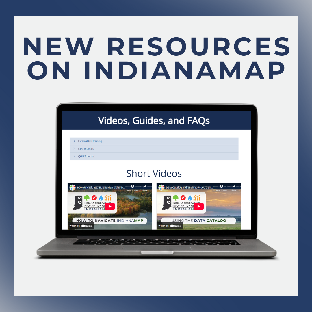
Are you familiar with the Videos, Guides, and FAQs page on IndianaMap.org? Let’s do a quick breakdown of the different resources available to users.
IndianaMap is maintained by the Indiana Geographic Information Office with the aim of providing open access to statewide, authoritative geospatial datasets to a wide variety of GIS users in Indiana. This site serves as a data and resource hub for all things GIS in Indiana.
The Videos, Guides, and FAQs page consists of General GIS Training Resources, Short Videos, PDF Guides, Webinars, and FAQs. We’ll cover each of these below.
General GIS Training Resources
The External GIS Training section contains links to IU and Harvard Online free GIS training on a variety of topics, along with a link to ESRI’s searchable training catalog. This is where users can find training on using ArcGIS Online.
The ESRI Tutorials and QGIS Tutorials sections contain direct links to specific topics on each respective platform. If you need help with a particular geoprocessing task, using ArcGIS Pro/QGIS, etc., you can find those resources here.
On the site, expand the following sections to learn more:
- External GIS Training
- ESRI Tutorials
- QGIS Tutorials
Short Videos
In addition to the external resources discussed above, the IGIO provides short form, topic specific videos to help users get started using IndianaMap. In this section, users will find quick videos on the following topics:
- How to Navigate IndianaMap
- Using the Data Catalog
- Accessing and Downloading Data
- Using the IndianaMap Viewer
- Using IndianaMap Community Accounts
- More videos to come!
PDF Guides
IndianaMap also provides access to PDF guides on specific topics to help users access and utilize available data and resources. Users can find guides to help create and utilize Community Accounts, access orthoimagery and DEM products, filter and download data, and add data to ArcGIS Pro. The guides are labeled as follows:
- IndianaMap Community Accounts Overview and Guide
- Introduction to Accessing Cloud Optimized IN Orthoimagery
- Access DEM, Hillshade, Slope, Aspect using Web Services
- How to Filter and Download IndianaMap Data
- IndianaMap Viewer Guide
- How to Access IndianaMap Web Services in ArcGIS Pro
Webinars
For users who would like a more thorough overview of IndianaMap, there are webinars available regarding IndianaMap Community Accounts and Accessing and Downloading IndianaMap Data. These webinars may be helpful for users to gain perspective on the platform and to see how it all ties together. The titles of these webinars are:
FAQs
Finally, users can find Frequently Asked Questions (FAQs) near the bottom of the page. Topics include:
- General
- Can I use web services in my own maps, projects, and software?
- What coordinate system are IndianaMap layers in?
- How can I get in touch with someone if I have questions or need assistance?
- Data Download
- Can I download data from IndianaMap?
- Can I filter data before downloading it?
- Can I access direct download for any layers?
- IndianaMap Viewer
- How can I search for layers in the IndianaMap Viewer?
- Community Account
- What do I get access to if I sign up for a community account?
If you have any questions or comments, please reach out to indianamapsupport@iot.in.gov or check out the IGIO website.