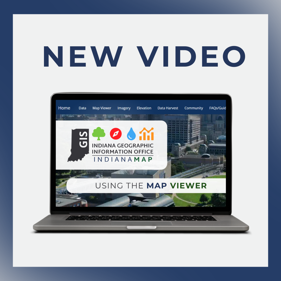
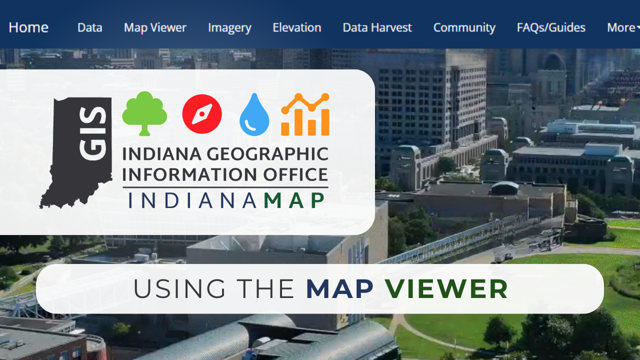
Exploring the IndianaMap Viewer
The Indiana Geographic Information Office (IGIO) continues to enhance public access to geospatial data with a new video demonstration on the IndianaMap Viewer, Indiana’s open data portal for geographic information. This latest tutorial is designed to guide users through the powerful tools available in the Viewer, helping them explore, analyze, and utilize statewide GIS datasets more effectively.
Why the IndianaMap Viewer Matters
IndianaMap provides a centralized hub for accessing over 400 public datasets from various state and local agencies. With the Viewer, users can visually explore this data, interact with map layers, and gain geographic insights tailored to their needs.
Whether you're a planner, a researcher, an educator, or a citizen interested in mapping, this tool offers a user-friendly interface for discovering and working with Indiana’s geospatial data.
The tutorial breaks down key features of the IndianaMap Viewer, covering everything from basic navigation to advanced tools. Here are some highlights:
- Accessing the Viewer
- Navigate to IndianaMap.org and launch the Viewer via the homepage.
- Use the embedded Viewer or open the application in a new tab.
- Exploring the Interface
- Navigate using the Toolbar, featuring tools like draw, query, bookmarks, and print.
- Access layers via the Layer List to choose datasets for display.
- Zoom, pan, and switch basemaps using the Basemap Gallery and navigation tools.
- Adding & Interacting with Data
- Search and filter datasets using the Add Data tool.
- Toggle layers on and off, view legends, and interact with data pop-ups.
- Using Additional Map Tools
- Bookmark locations for easy reference.
- Export custom maps as PDFs.
- Conduct spatial queries for deeper analysis.
This video demonstration ensures that users can confidently navigate the IndianaMap Viewer, empowering them to explore Indiana’s rich geospatial resources with ease.
Watch the Video & Learn More
Ready to dive into the IndianaMap Viewer? Watch the full demonstration and follow along by visiting IndianaMap.org.
For further details, additional tutorials, and guidance, check out the IndianaMap Viewer Guide on the homepage or explore more GIS resources through the Indiana Geographic Information Office at IN.gov/GIS.
Stay tuned for future video demonstrations and updates as IGIO continues to provide valuable insights into Indiana’s geospatial data!