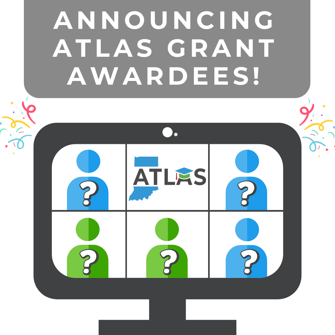
Announcing the ATLAS Grant Awardees
The first cycle of applications for the ATLAS Grant has now closed. After tough deliberation, the IGIO narrowed down the awardees from 17 to 5. Over the next year, the awardees will begin work on their proposed projects. Applications for cycle 2 will begin in August of 2026, stay tuned for more details as the time gets closer!
The Advancing Technology for Learning and Applied Spatial Solutions (ATLAS) grant is designed to empower colleges, universities, K-12 organizations, and other learning institutions to:
- Advance applied geospatial research.
- Enhance accessibility of geographic data.
- Promote best practices in geographic data management and analysis.
- Ensure effective use and understanding of geographic data and concepts across various disciplines.
The ATLAS grant has two tracks: NAVIGATE (Nurturing Academic Vision in Geospatial and Technological Education) and MAPS (Modern Applications for Processing Spatial Data). We awarded two (2) grants from the NAVIGATE track, and three (3) from the MAPS track.
Learn more about each awarded grant and what they aim to accomplish.
Bringing Geospatial Concepts to Hope Elementary Science Lab: Augmented Reality Sand Table for K–5 Learners
- Track: NAVIGATE
- Project Summary: Hope Elementary School seeks to purchase the Kaplan Illumination Station and Illumination Station Exploration Kit to integrate geospatial thinking into K–5 science and STEM instruction. This Augmented Reality Sand Table will enable students to interact with dynamic, projected topography maps and habitat simulations, building early fluency in geographic data concepts. While there are other augmented reality sand tables available on the market, the Illumination Station is best suited for K–5 learners because of its intuitive design, age-appropriate interface, and flexible projection modes. It is fully accessible for students of all abilities, including those with mobility or sensory needs, ensuring equitable participation in geospatial learning activities. The grant will allow Hope to bring an immersive, state-of-the-art educational tool to a rural Indiana school, expanding opportunities for geographic exploration that would otherwise be inaccessible to students.
Indiana Geography Education Outreach: NAVIGATE 1
- Track: NAVIGATE
- Project Summary: Geography Educators' Network of Indiana, Inc., (GENI) will utilize the grant for their Indiana Geography Education Outreach (INGEO): NAVIGATE 1 project. The project will support a variety of PK-12 geospatial education materials development, production, and outreach involving PK-16 educators and students. Three primary foci evolve from the INGEO: NAVIGATE 1 Project:
1. Develop a series of GeoINquiries for Indiana middle and high school students. The GeoINquiries would also connect with the Giant Maps of Indiana (and Giant County Maps) and with the latest Indiana Atlas (Discovering Indiana: Geographic Perspectives of the Hoosier State 2nd Edition).
2. Produce a series of videos highlighting Indiana Geospatial Professionals demonstrating the multiplicity of career possibilities for PK-16 students that will contribute to the construction of a framework for Indiana high school and post-secondary internship connections.
3. Provide Indiana elementary schools, libraries, after-school programs or other education providers access to a Giant Map of Indiana, accompanied by an instructor/guide/mentor.
In conclusion, the three project foci develop a cadre of readily available materials and tools that advance Indiana geospatial education utilizing Indiana geographic data and concepts across disciplines and ages, supporting effective decision-making for real-world problems.
Building a Scalable Network GIS Road Model for Indiana – 11 County Pilot
- Track: MAPS
- Project Summary: Indiana University will use the grant to develop a repeatable, advanced Network GIS model for Indiana’s roads, with Marion and surrounding counties as the pilot. Outcomes include new analytical tools and methods, comprehensive documentation, and model data all freely published under Creative Commons CC0, establishing a technical foundation for rapid scaling to all 92 counties. This project leverages Indiana’s open framework data (street centerlines, lidar, census TIGER topologies and related addresses) to construct a directed, topology-correct Network GIS model— fulfilling MAPS program goals for tools, process, and data innovation.
Establishing FAIR data framework for Indiana Geographic Information Office
- Track: MAPS
- Project Summary: Indiana’s statewide geospatial datasets, including orthoimages, LiDAR point clouds, and derivative products, are a driving force for economic efficiency and public service enhancement based on the recent Value & Benefit Study published by IGIO. Despite the adoption of cloud storage and cloud-optimized formats, these datasets are not fully utilized due to limited discovery and access methods compatible with modern technologies. To address this gap, Purdue University’s project proposes to implement a STAC (SpatioTemporal Asset Catalog)-based data management framework and a suite of analytical tools built on this framework to enhance accessibility and interoperability. This project will promote broader public and research use of Indiana’s statewide geospatial datasets, which is consistent with the goals of the MAPS track of the IGIO ATLAS grant.
GeoCrop: A Spatial Decision Support Tool for Visualizing Crop Health in Indiana
- Track: MAPS
- Project Summary: Indiana University, alongside Ball State University, will utilize the grant to create a scalable, repeatable, and user-friendly tool that leverages Indiana’s Framework Data and national datasets to support decision-making in agriculture. Specifically, the tool consists of four major components:
1. A Data Integration Layer to connect Indiana Framework Data (multi-band imagery, elevation, and boundaries) with national datasets such as the United States Department of Agriculture (USDA)’s Cropland Data Layer (CDL), Landsat, and Sentinel-2 imagery.
2. A Processing Engine to automate vegetation index calculations (e.g., normalized difference vegetation index (NDVI)), detect and classify stress conditions, and employ machine learning algorithms to distinguish likely causes of stress, including water scarcity, nutrient imbalance, or disease pressure.
3. A Recommendation Module which converts model outputs into farmer-ready guidance.
4. A Visualization Interface built with ArcGIS Experience Builder and dashboards to deliver mobile- and web-based access to crop health maps, stress zones, and actionable recommendations.
Finally, GeoCrop will directly benefit Indiana’s farmers by enabling them to detect stress early, optimize inputs, and protect yields. At the same time, it will broaden the educational use of Indiana’s Framework Data and demonstrate how innovative applications of state data infrastructure can yield enduring, scalable benefits. By linking producers, students, researchers, and extension audiences through a shared platform, GeoCrop fulfills the Modern Applications for Processing Spatial Data (MAPS) program’s vision of advancing user-centered, innovative tools that maximize the value of Indiana’s geospatial resources.