2026 IGIC Conference is a Wrap!
The 2026 IGIC Conference brought together Indiana’s geospatial community for a week of hands-on learning, thoughtful discussion, and inspiring examples of GIS in action. From deep‑dive workshops to forward‑looking innovations, this year’s event showcased just how quickly Indiana’s geospatial capabilities continue to grow.
Workshops & Sessions Highlights from Our Office
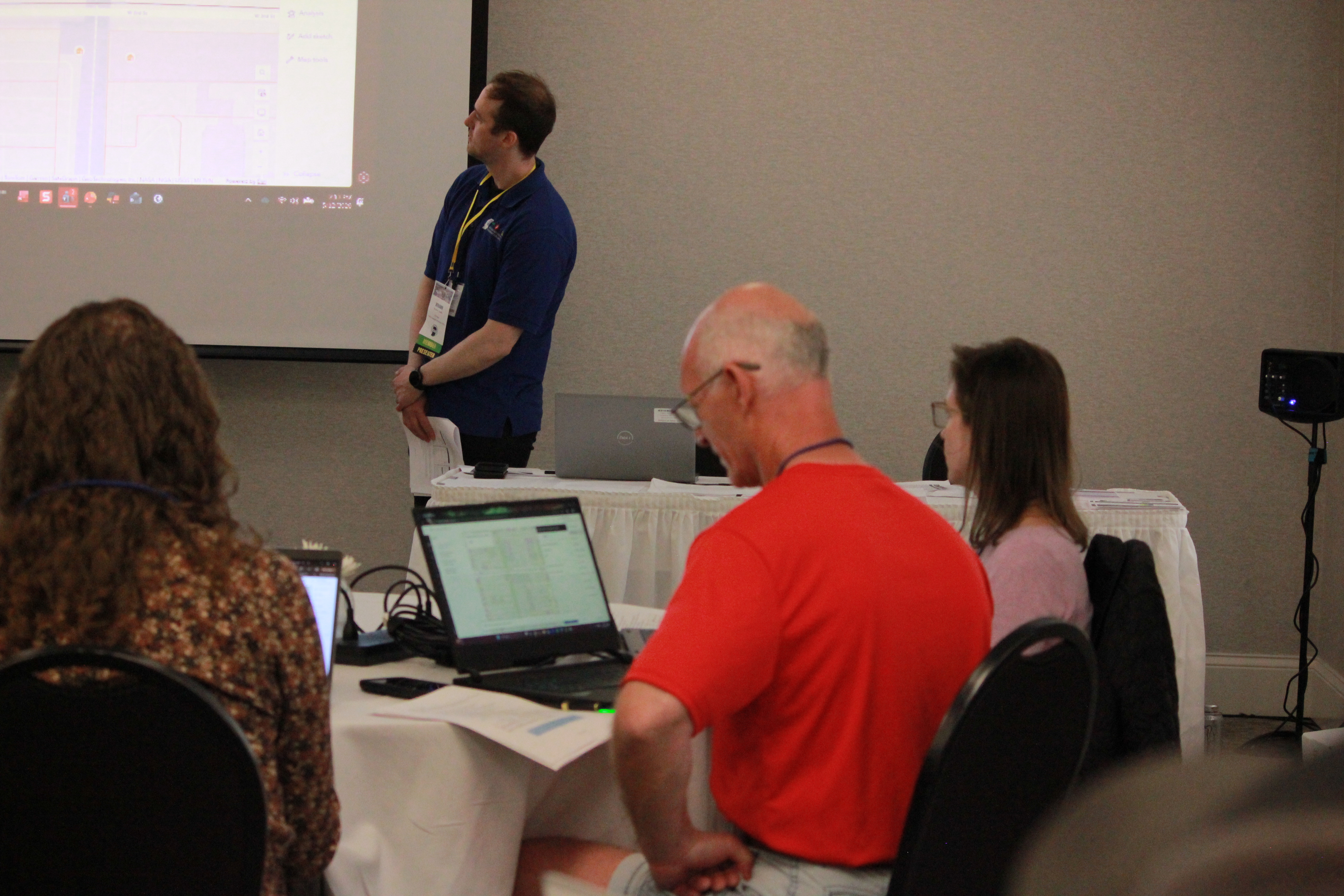
Advanced Geospatial Data Access & App Development with IndianaMap.org workshop - Led by Rick Rahe & Ben Grubbs
Attendees dug into IndianaMap.org with a fully guided workflow, creating community accounts, exploring data structures, and building a complete web‑map‑to‑dashboard workflow. Users walked away empowered to manage sophisticated spatial projects with Indiana’s authoritative data resources.
Explore IndianaMap for yourself
Check out our YouTube Channel for a better understanding of how to create an account and use all the features
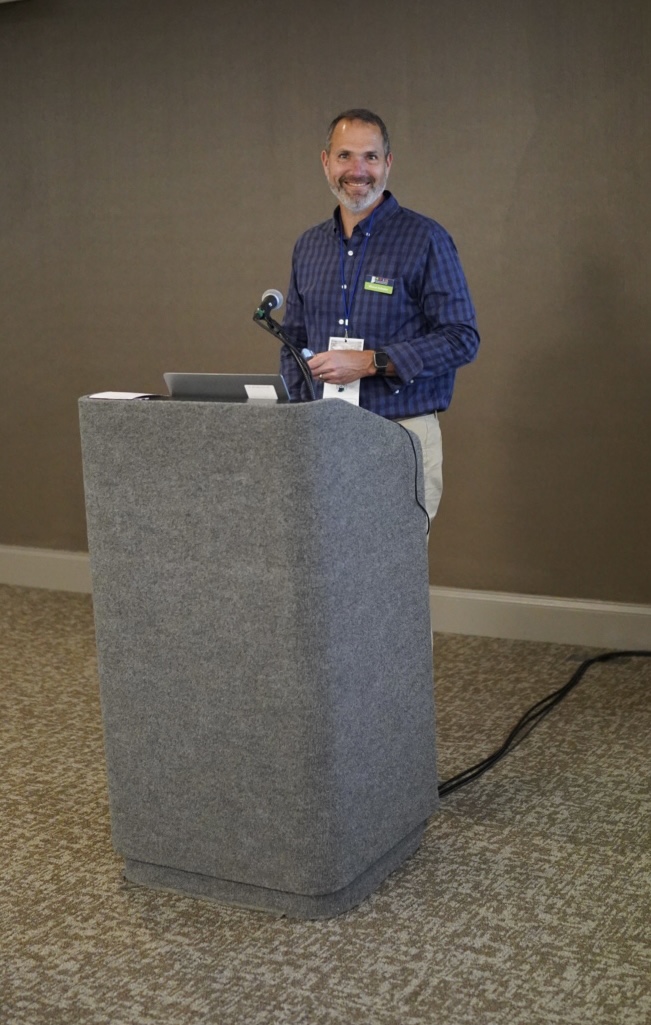
Accessing Indiana’s Statewide Imagery & Elevation – Presented by Shaun Scholer
This session offered a sneak peek at the 2025–2028 imagery and LiDAR collections and demonstrated how users can access statewide datasets through imagery services, cloud‑optimized downloads, and public GIS platforms.
Remote Sensing with ArcGIS Pro Workshop - Led by Shaun Scholer & Lee Eunmok
This hands-on workshop covered the essentials of remote sensing, from imagery display to band combinations, enhancements, and change detection, giving participants practical skills they can bring right back to their daily work.
FAIR Indiana Geospatial Data Framework – Presented by Shaun Scholer & Jinha Jung
A forward-looking look at Indiana’s move toward a centralized STAC‑powered metadata system. The goal: make imagery, LiDAR, and other large datasets easier to search, use, and integrate across platforms, scaling Indiana’s geospatial future.
Visit our Imagery Program for resources
IGIO Data Standards – Presented by Steve Aldrich
The IGIO shared newly developed statewide data standards built with IGIC and local partners. These standards define schema, formats, and update cycles for key datasets, supporting consistency, interoperability, and statutory requirements across Indiana’s geospatial ecosystem.
- These standards have not yet been released - stay tuned for their full release in early fall.
IGIO Updates Over Lunch
Marianne Cardwell offered updates on IGIO initiatives, strategic priorities, and ongoing collaboration efforts across the state.
Accessibility is Not Optional: Resources for Compliance Under the New ADA Title II Rule – Presented by Haley Hartenstine
 With new ADA Title II digital accessibility rules taking effect, this session covered what GIS teams need to know to make web‑based GIS products WCAG 2.1 conformant. Focusing on practical guidance to help organizations move from awareness to real compliance. Users can also expect additional recorded workshops from our upcoming engagement with esri, detailing how to audit and remediate web-based GIS content to get into compliance with WCAG 2.1 standards. Explore Accessibility Resources here
Celebrating Excellence

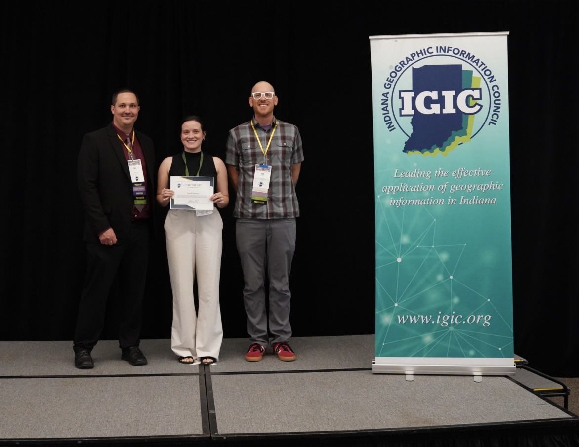
Congratulations to Sara Feeney (Indiana Department of Health)
Sara won the Emerging Professionals award for her powerful poster: Visualizing Obstetric Care Gaps Using Drive‑Time Analysis. Her work highlights meaningful spatial inequities in perinatal access and provides a valuable foundation for understanding health infrastructure gaps across rural Indiana. Her analysis is already making an impact, and we’re proud to see her leading the way in applied health GIS.
Conference Moments
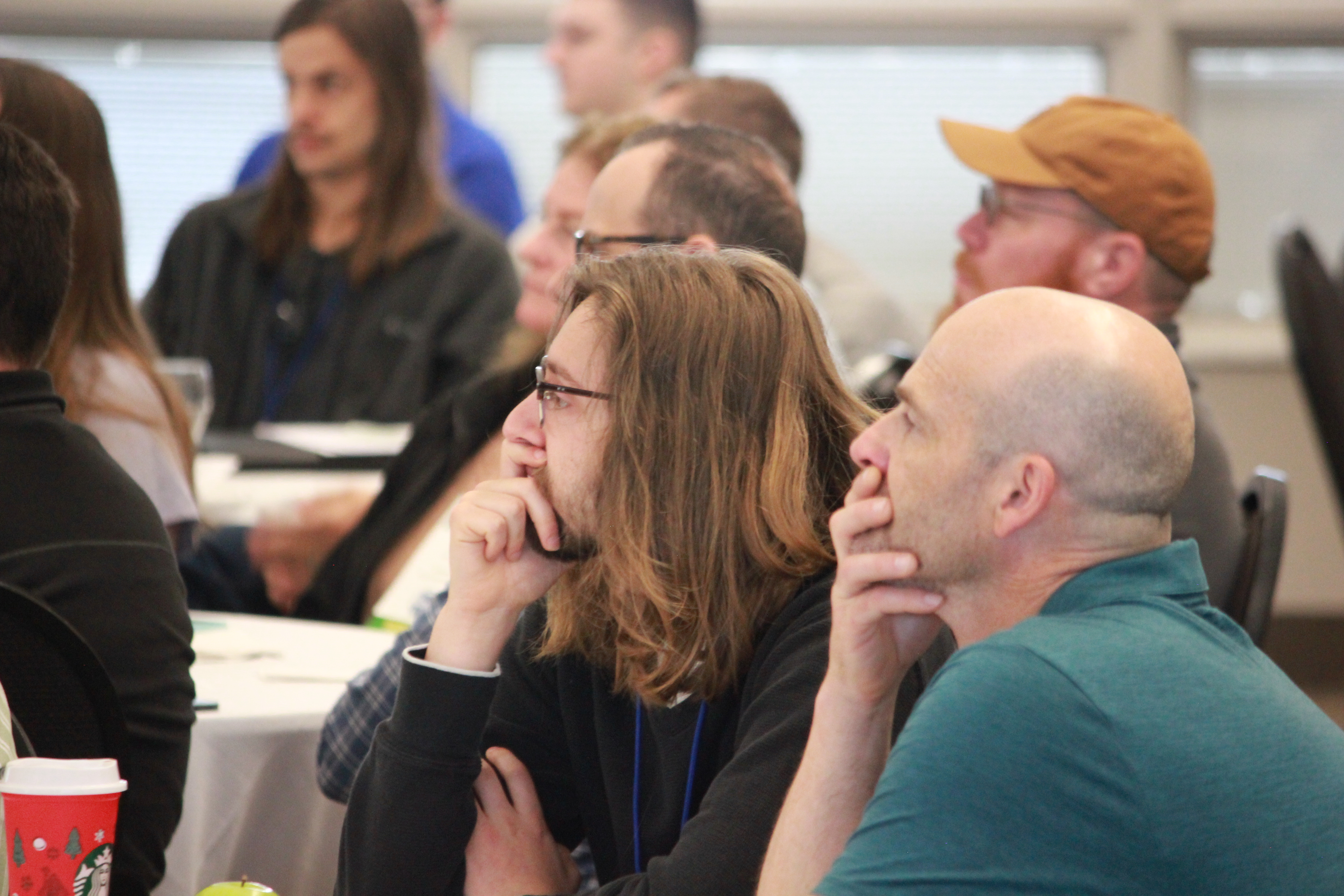
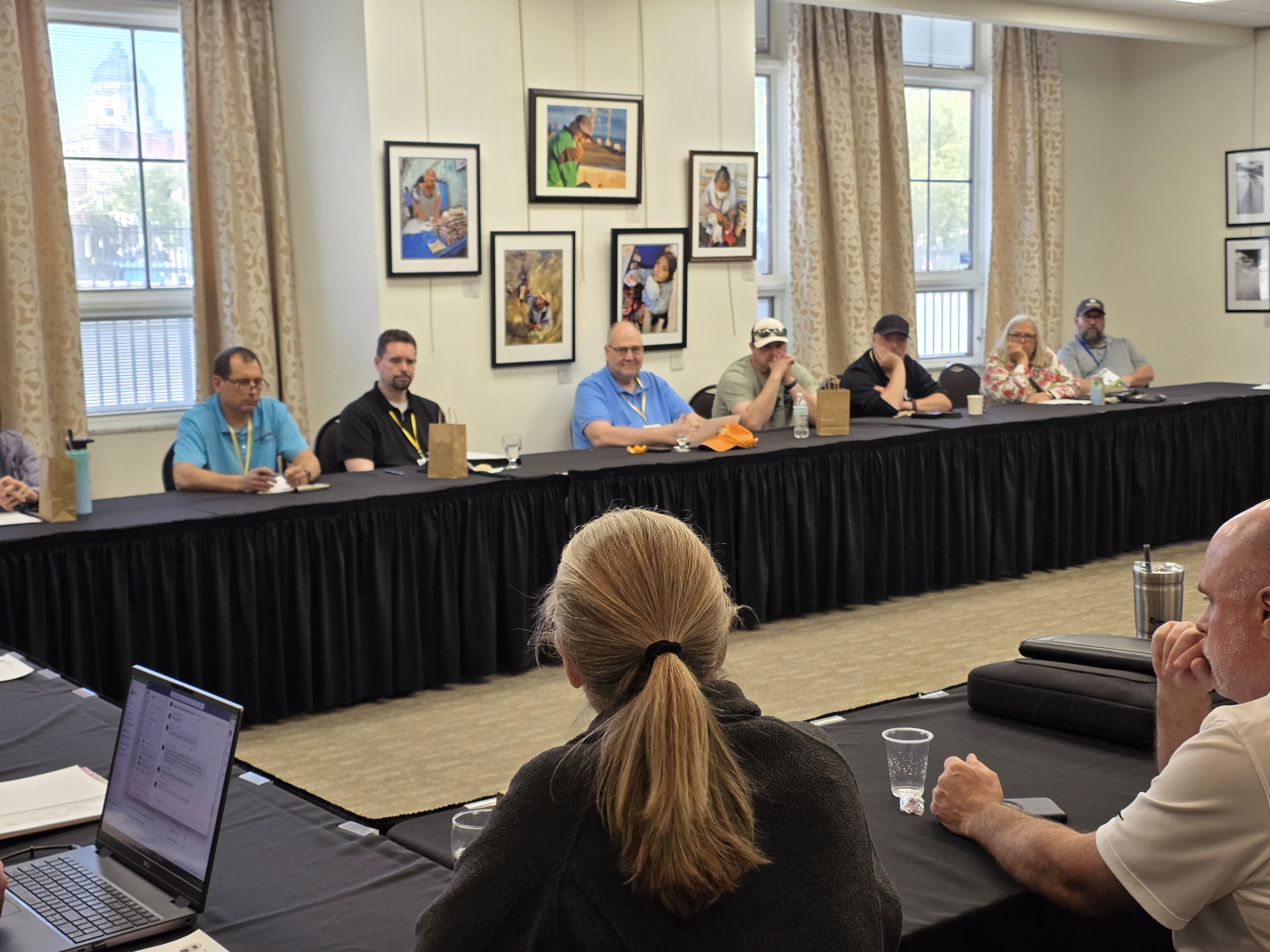
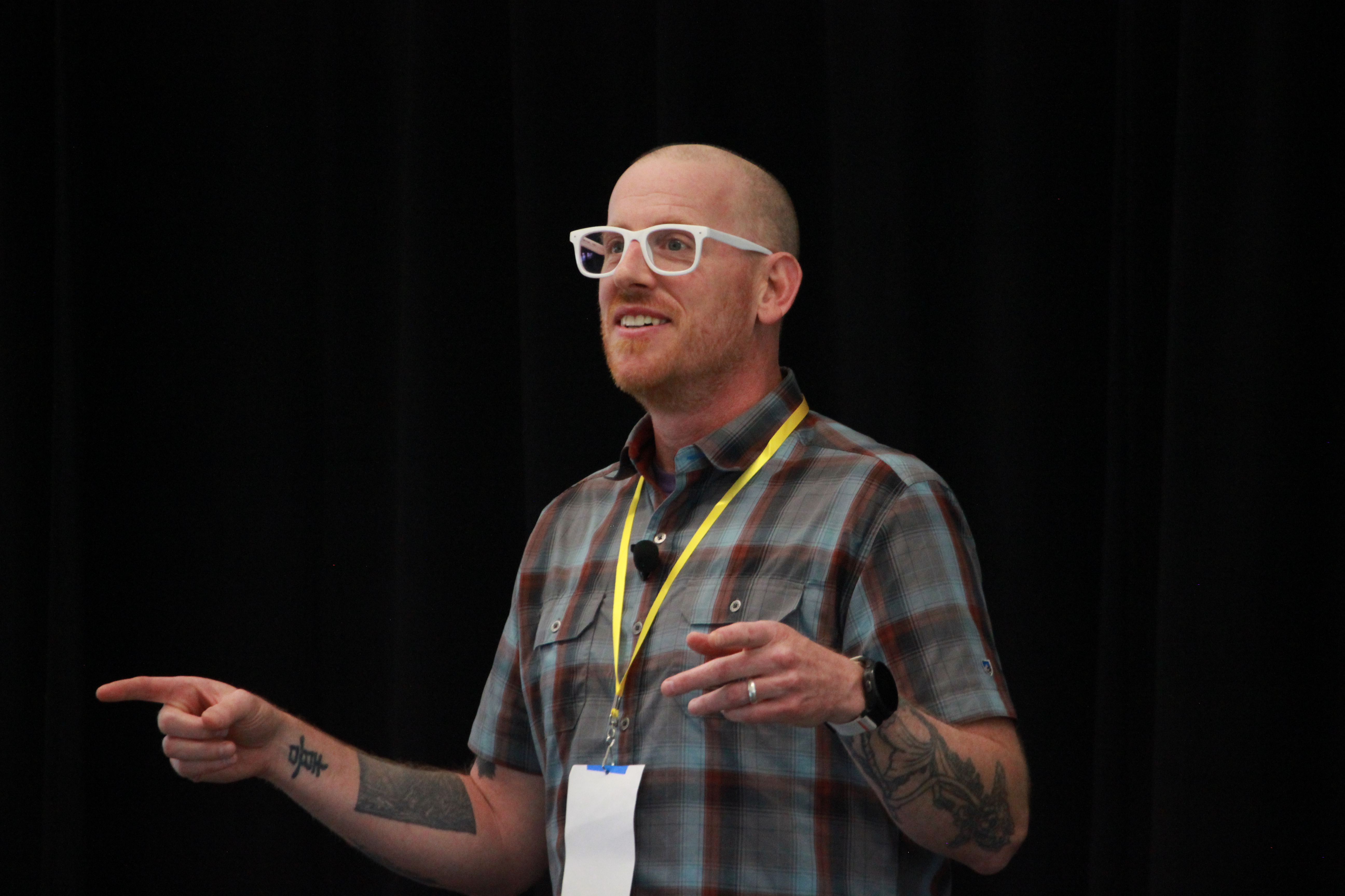
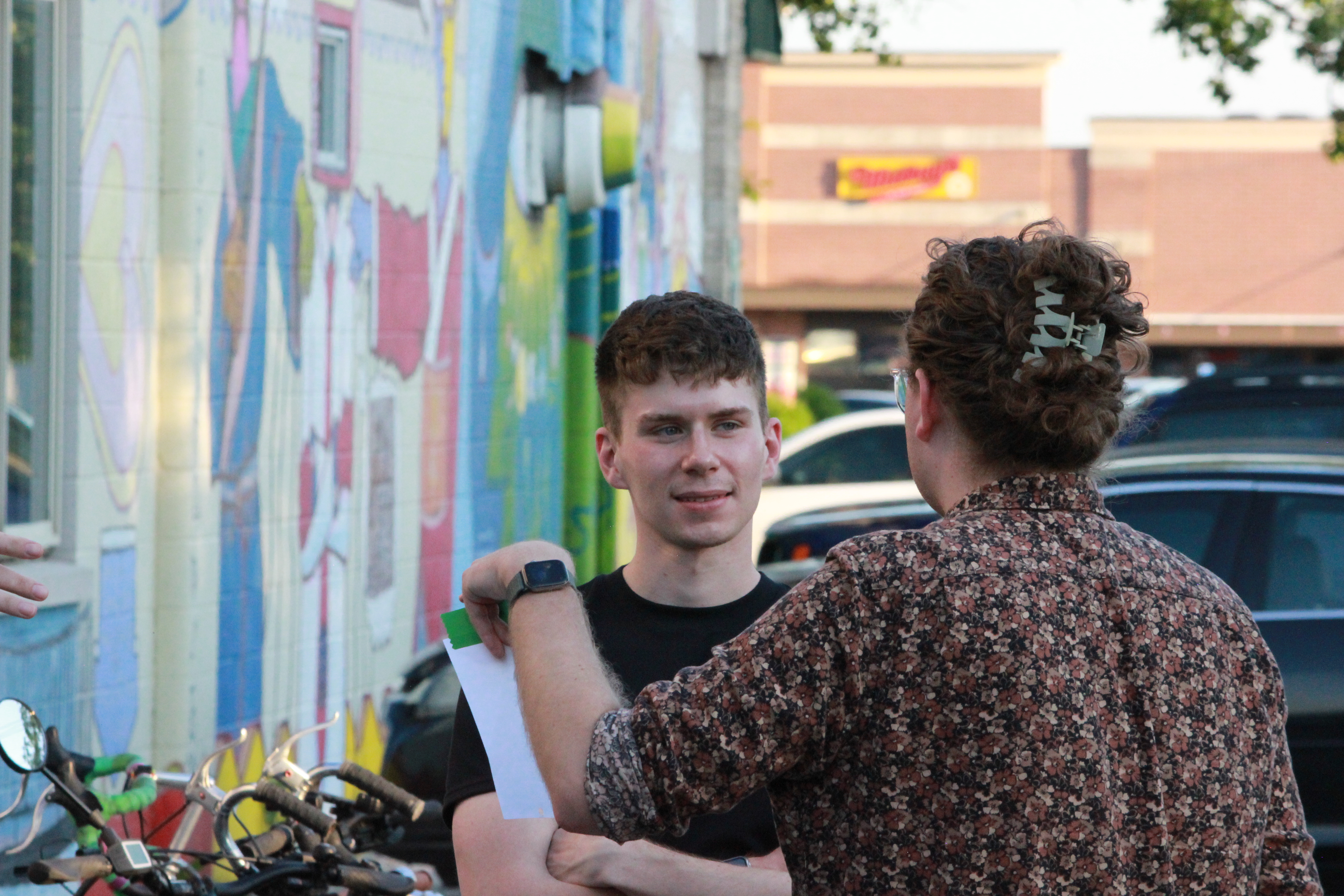
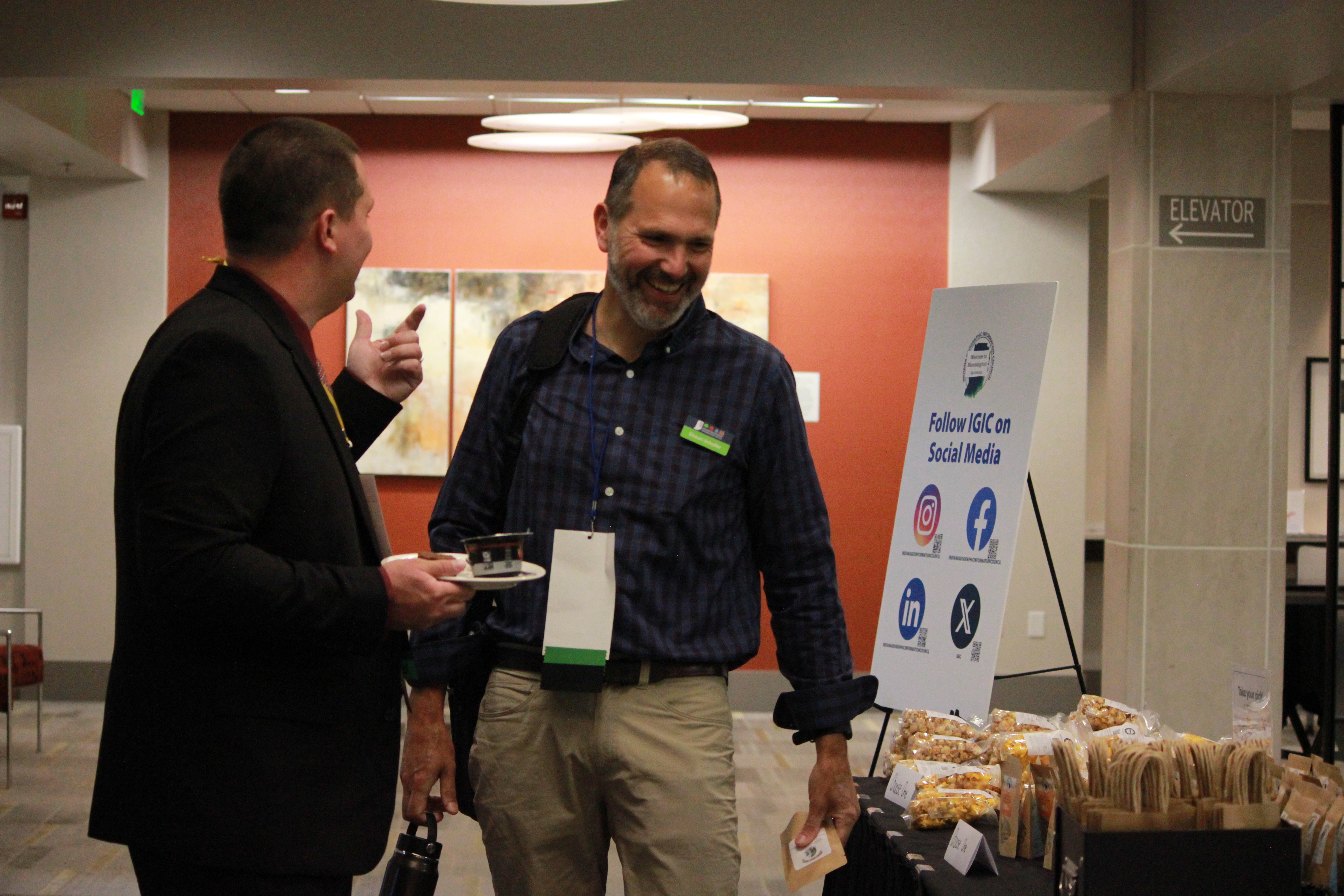
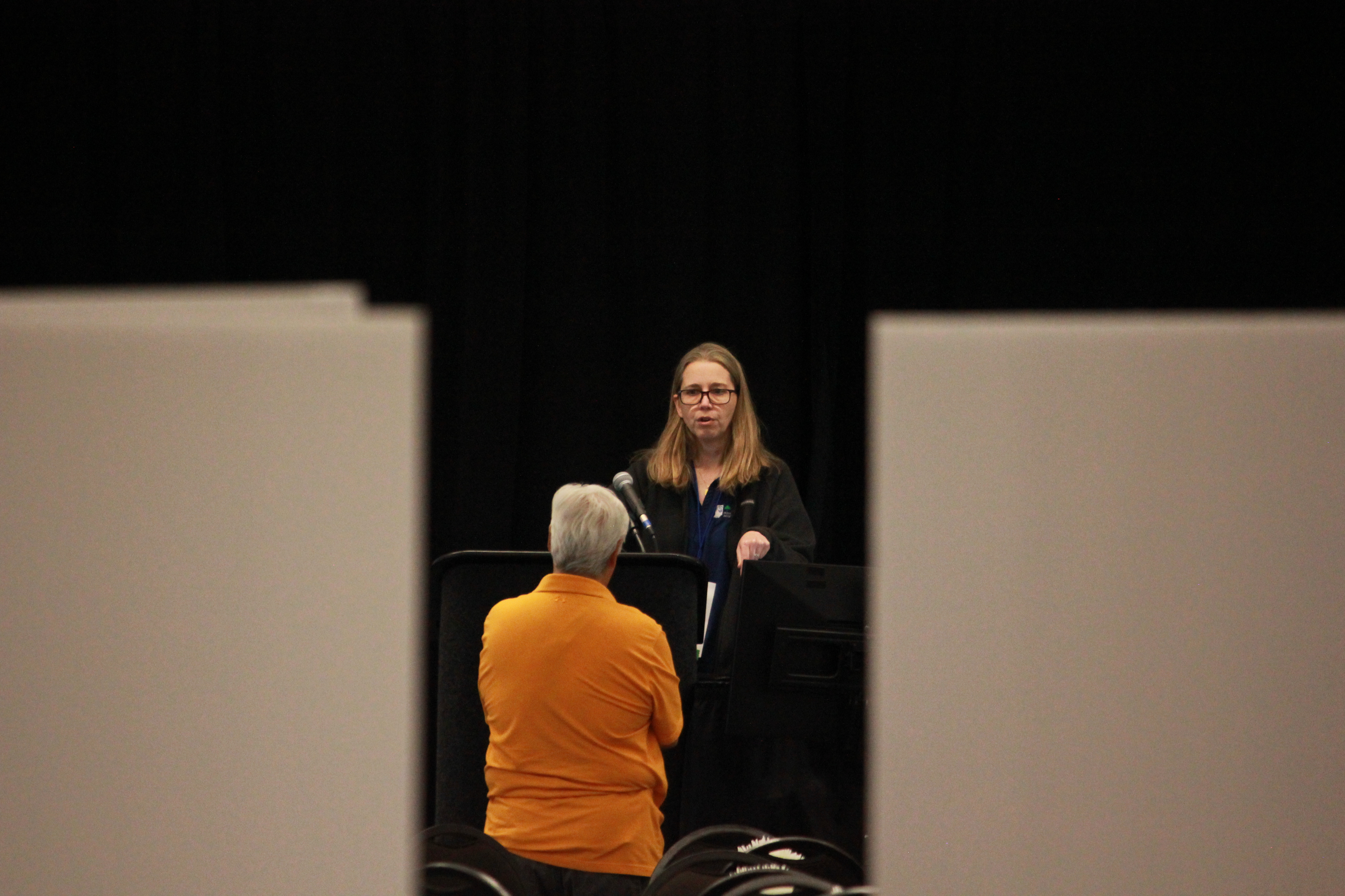
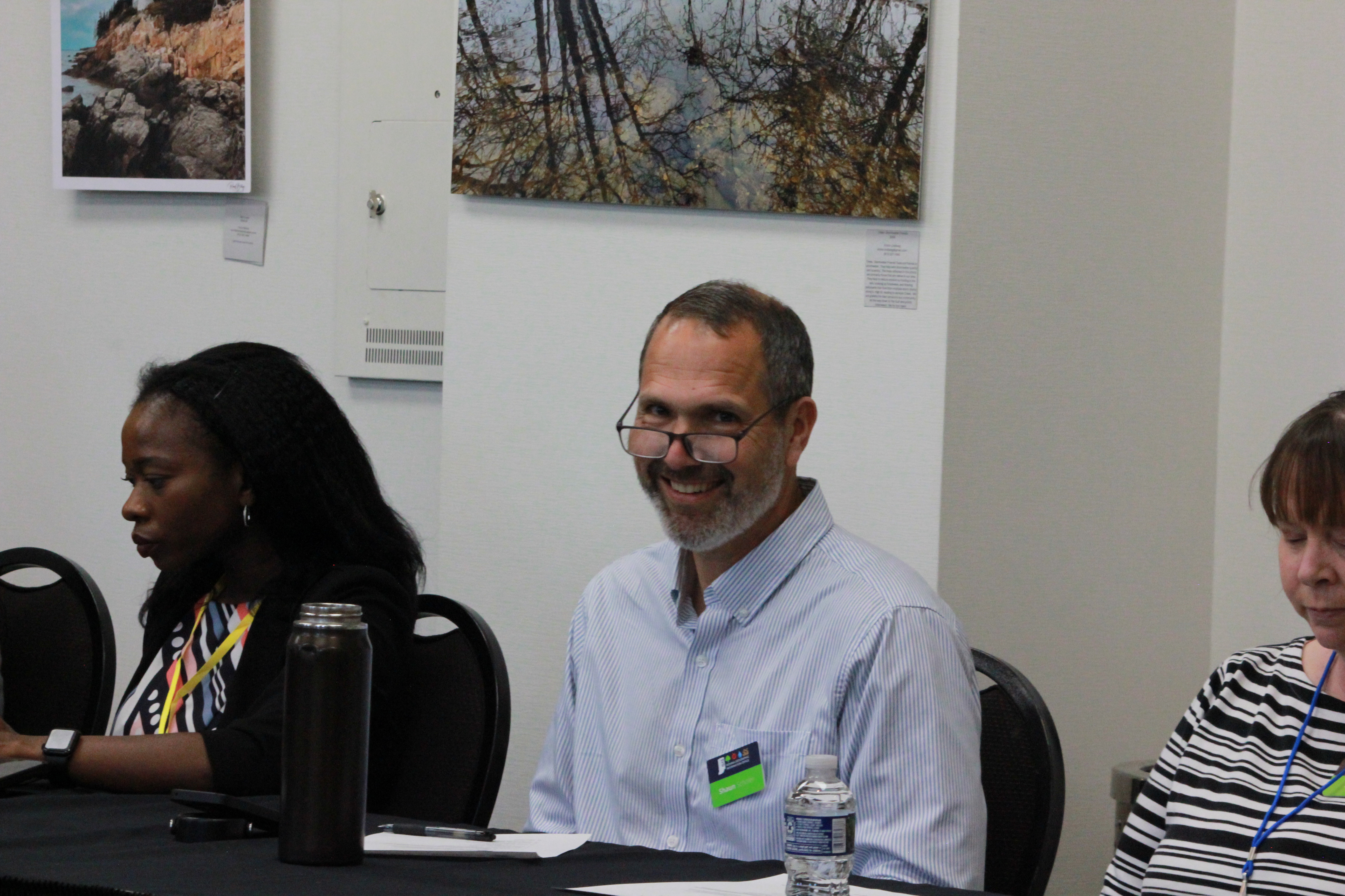
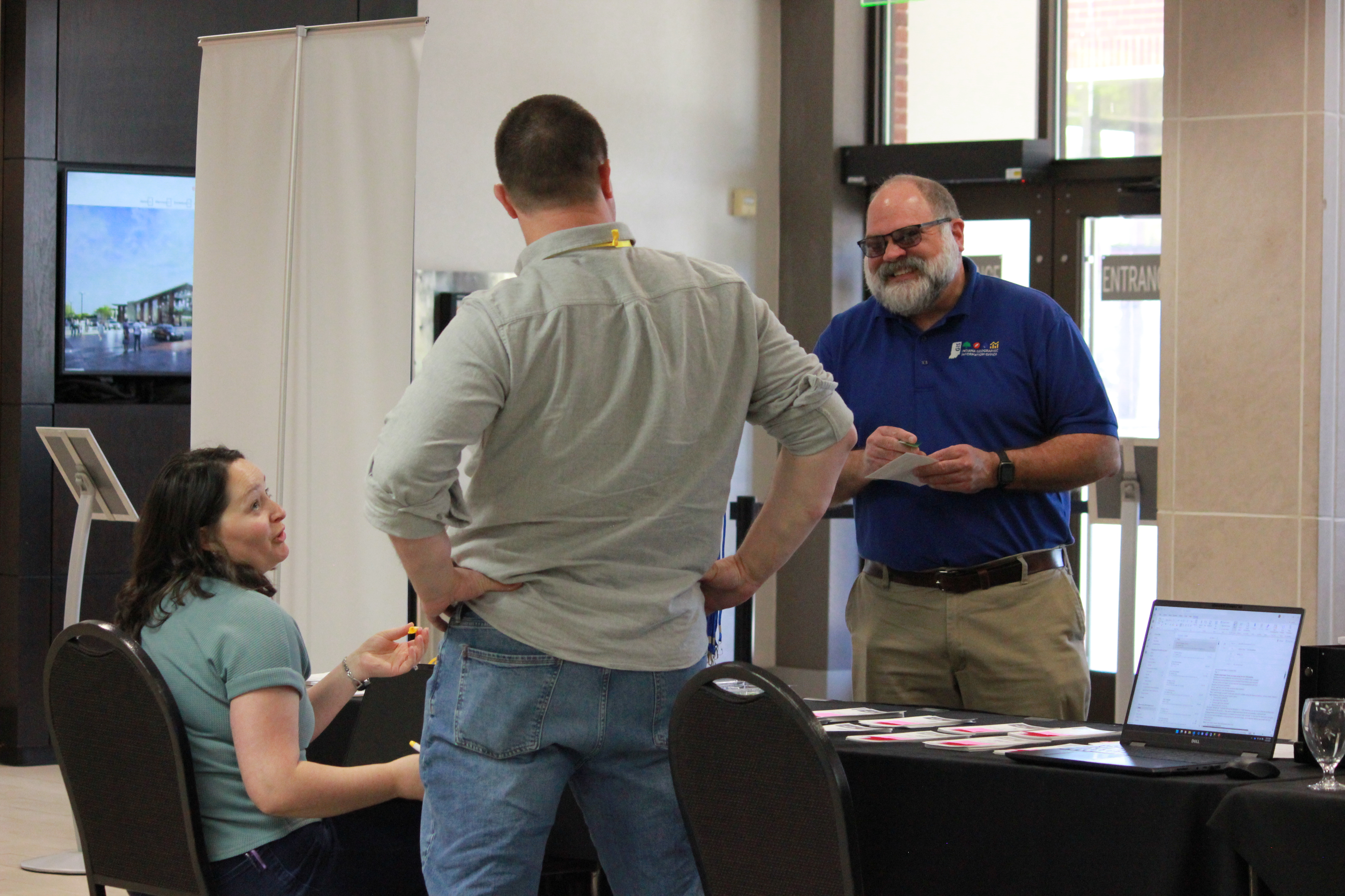
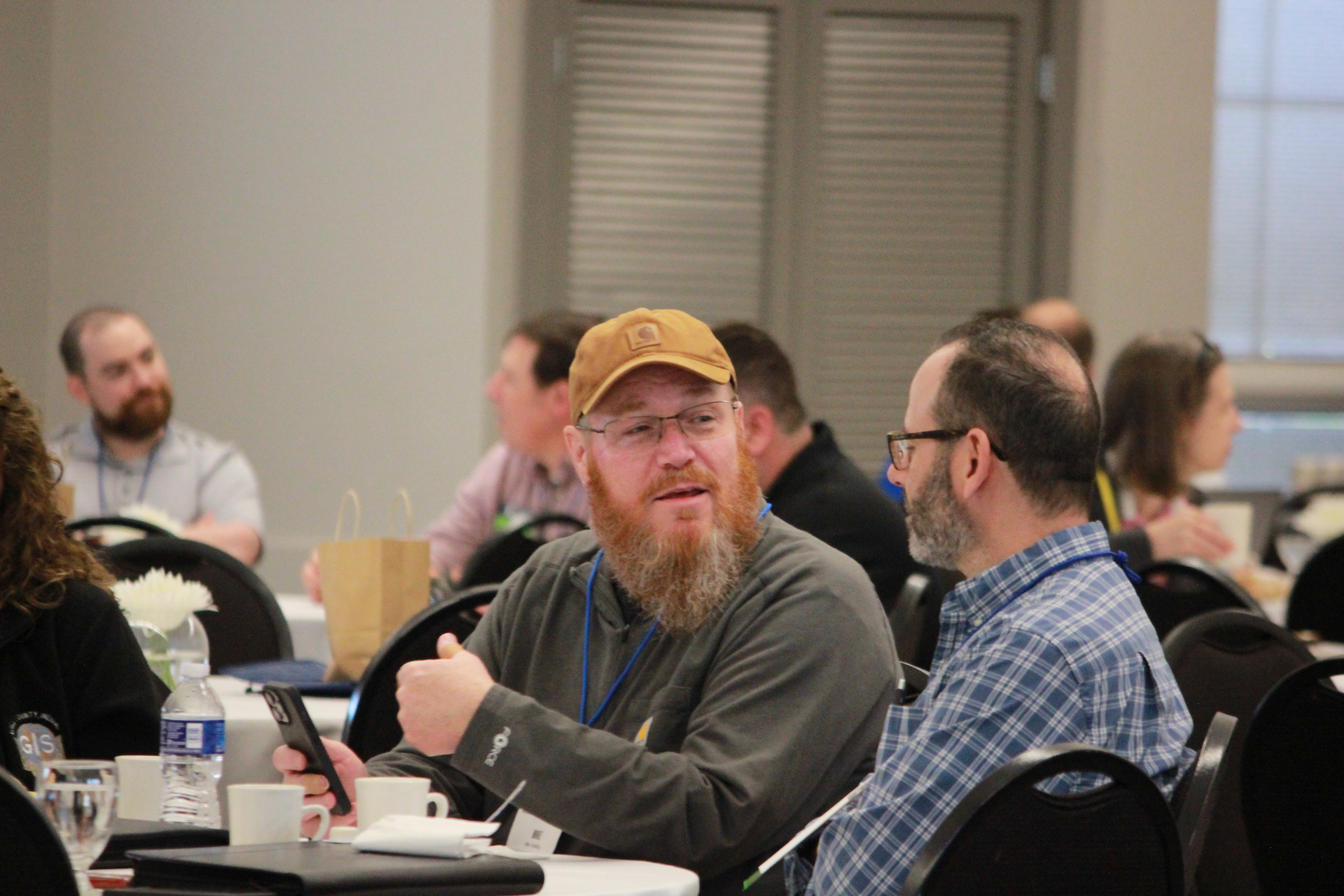
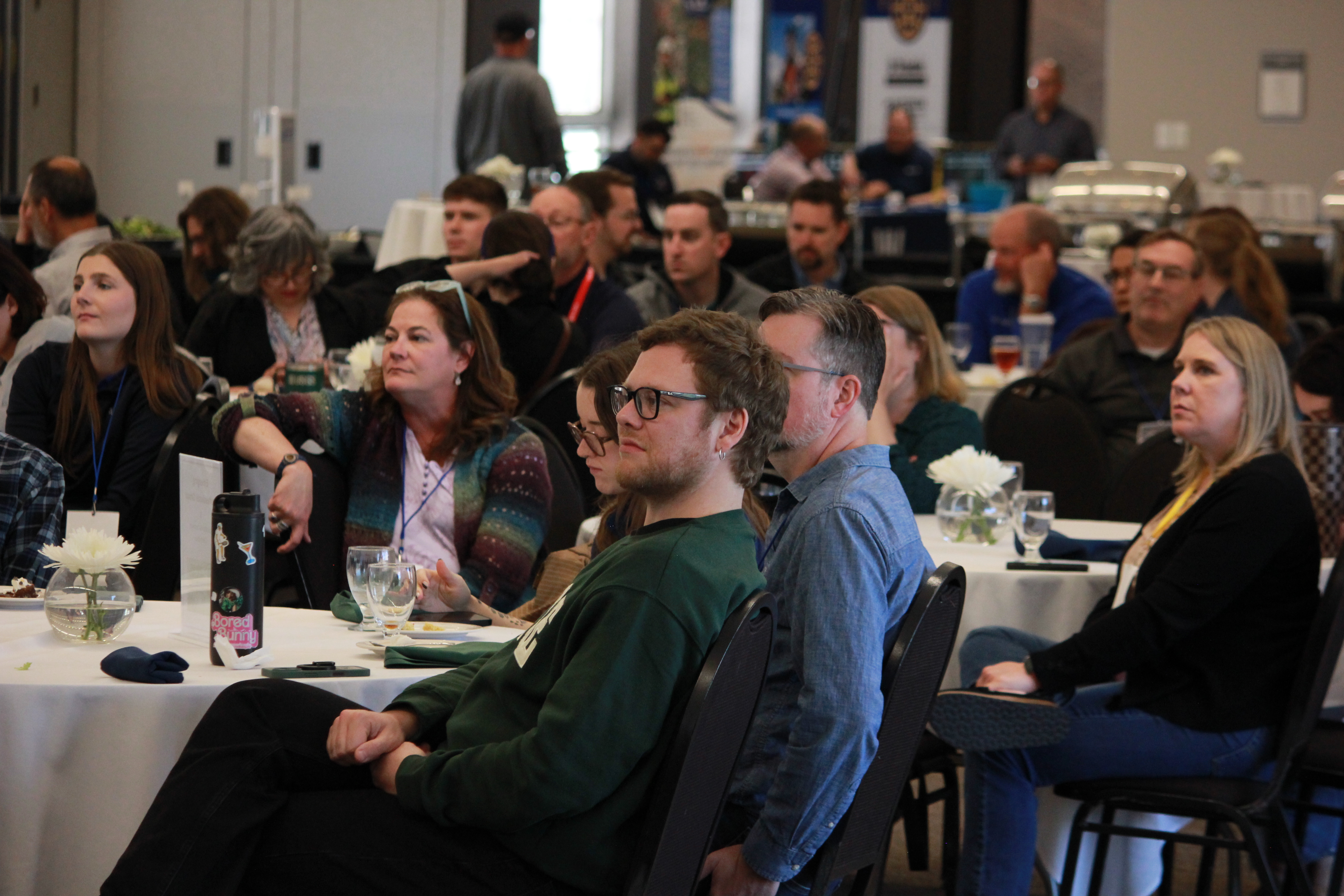
We wrapped up the week with countless great conversations, new connections, and candid moments that captured the energy of the Indiana GIS community. Check out a few of our favorite snapshots from the week!