History of Kankakee Fish & Wildlife Area
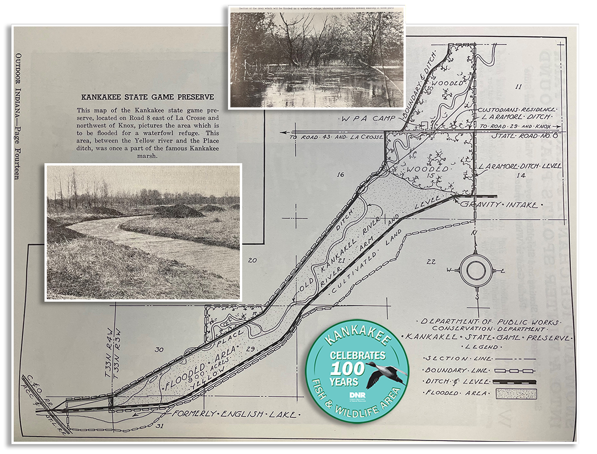
Illustration: Kankakee Game Preserve map from 1938 February Outdoor Indiana magazine, photo of channel dredging from May 1938 Outdoor Indiana (left), photo of existing marsh conditions from February 1938 Outdoor Indiana, centennial logo from 2023. Text of map: This map of the Kankakee state game preserve, located on Road 8 east of LaCrosse and northwest of Knox, pictures the area which is to be flooded for a a waterfowl refuge. This area, between the Yellow river and the Place ditch, was once a part of the famous Kankakee marsh.
History highlights
Constructing channels
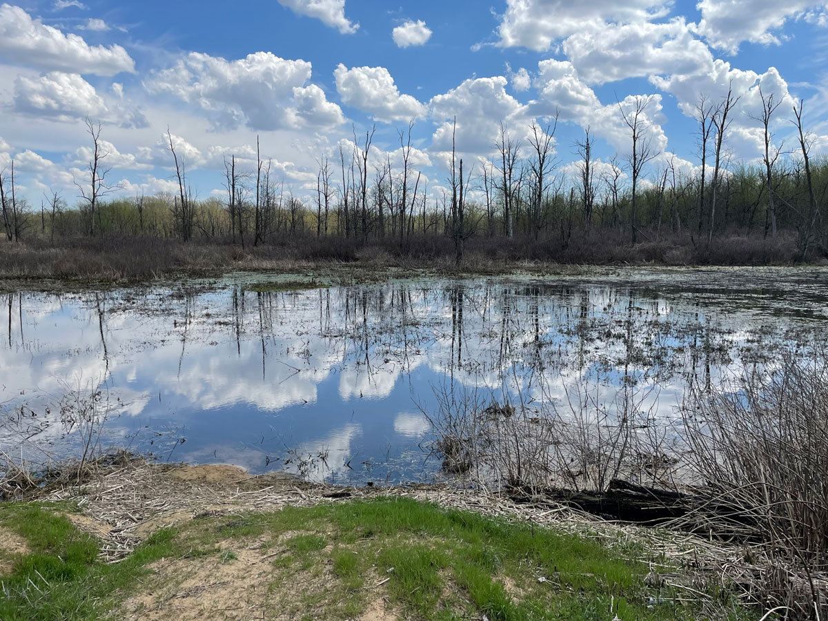
In the 1880s to 1890s, the Kankakee and Yellow rivers were straightened to allow for agricultural use of the land. Many trees and islands were removed to construct channels deeper than the marsh between the two rivers. In 1923, the legislature directed the auditor of state to sell certified swampland to pay for the cost of digging the channels. Indiana Fish & Game and 124 local fish and game protective associations urged the State to retain ownership of the lands. These 2,302 acres were conveyed back to the Indiana Department of Conservation, the DNR’s precursor, as the Kankakee State Game Preserve, which later became Kankakee FWA.
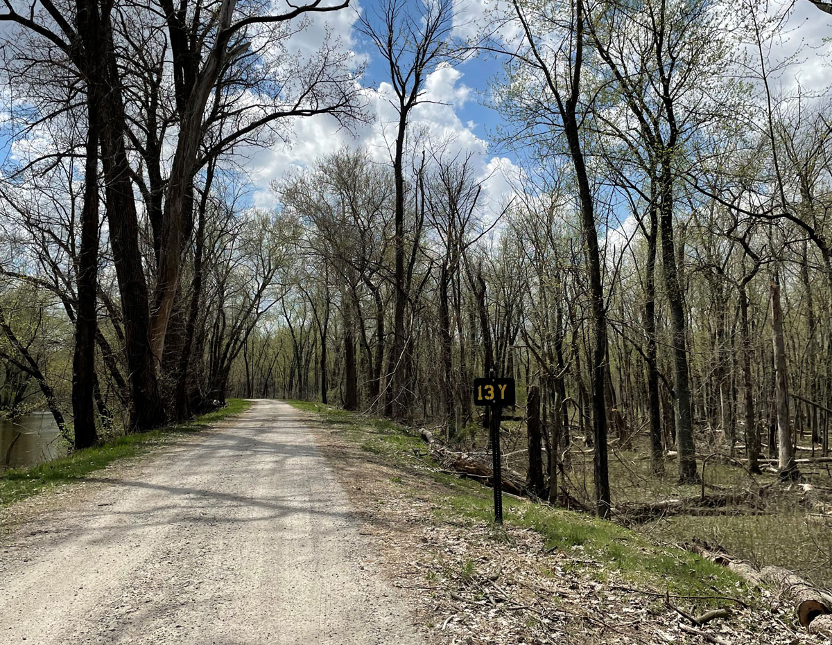
Creating 10-Mile Road
The construction of 10-Mile Road started with 400 men who were tasked to build a maintained berm to English Lake. They used materials from the channel construction and the marsh to level the tops of the berms. Using the existing spoil piles and material from the marsh frequently caused the sand, muck, and debris berms to break. In 1943, project W-7-D, a proposal to add stone to construct 10-Mile Road and create a 57-foot bridge for water stabilization was approved and completed.
Hunting
In 1957, hunting was allowed on Kankakee FWA for the first time, although hunting on the marshland between the rivers was not allowed because water levels were hard to control in the marsh. Years after the flood in 1959, cross levees were constructed inside of the marsh to improve water management. When the stabilized 10-Mile Road opened in 1961, hunting in the marsh was allowed. By 1972, the number of blinds on the property were reduced, and refuges were created in the first hunting unit.
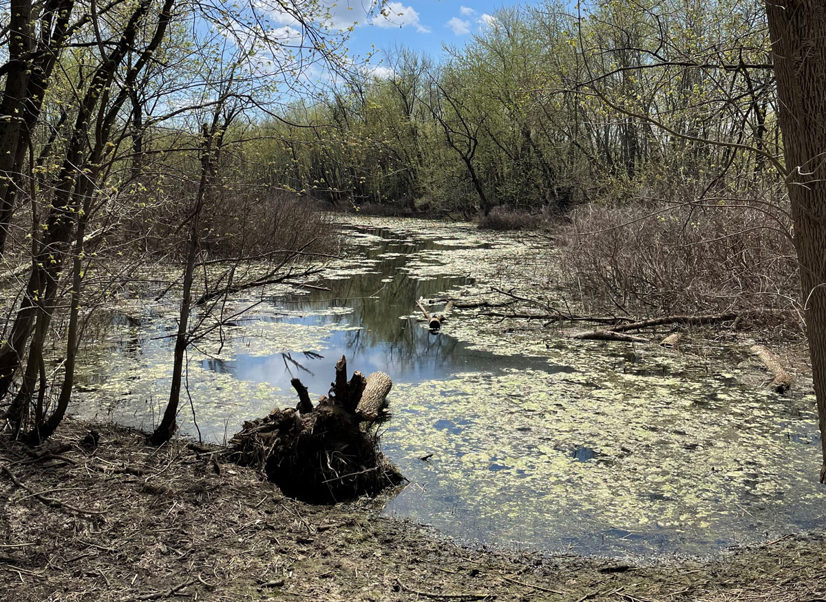
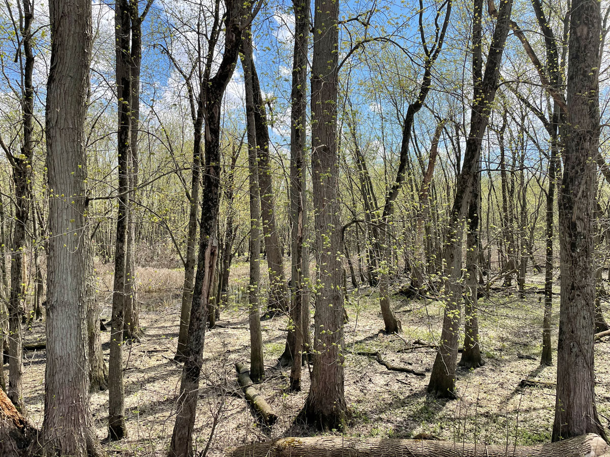
In 1982, the property acquired 1,016 acres of private land and developed it into wildlife habitat. Ten years later, Kankakee FWA acquired an additional 767 acres, and the property continues to gain acreage today. With its current 4,199 acres of open water, riparian timber, periodically flooded crop fields, and river, Kankakee FWA serves as a proud historical marker for outdoor experiences in the area.
In 2023, Kankakee FWA celebrated 100 years of providing habitat for wildlife and outdoor activities for visitors.