Welcome to the NEW Indiana Geospatial Coordinate System webpage!!
Through many hours and the help of many people, INDOT has been able to create and adopt a better defined coordinate system for the state of Indiana.
What is the NEW Indiana Geospatial Coordinate System you ask, take a moment and read the following "What Is It" document.
Participating Software Vendors:
Please check the following list to see if your Geospatial Software Vendors have adopted the InGCS coordinate system:
- InGCS-ParticipatingGeoSoftwareVendors
- MicroStation Users: Please use the following IN_GeoCS.dty file when utilizing the InGCS coordinate system.
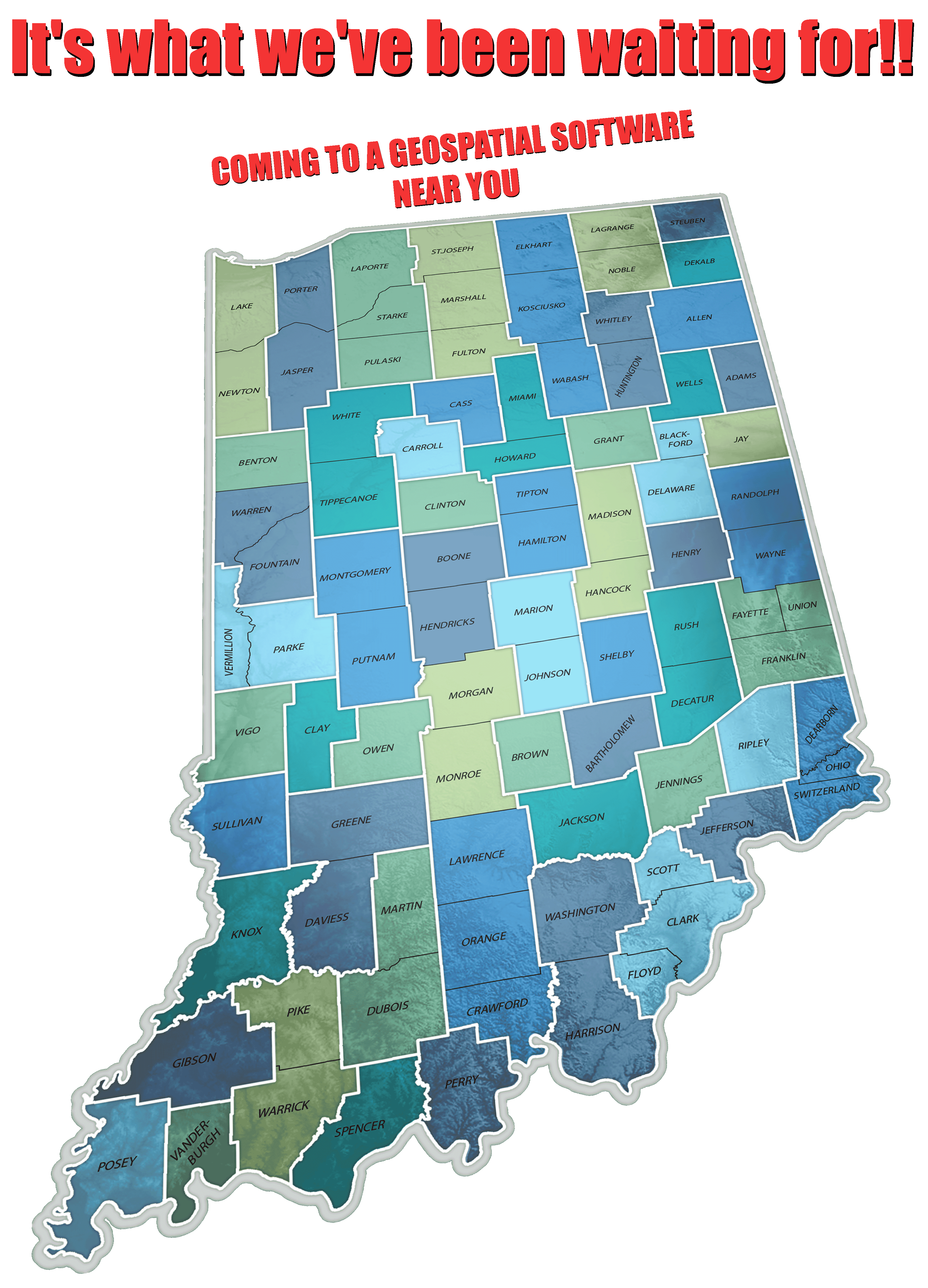
- Leica Survey users please view the following video on how to install the TRFSET.DAT files from the list below: Leica TRFSET.DAT install video
**After downlaoding the specific county file from the list below, you will need to delete the county name from the .DAT file.
For example, TRESET_Adams.DAT, make sure to delete Adams from the file name before trying to install on Leica equipment.
Adams - Allen - Bartholomew - Benton - Blackford - Boone - Brown
Carroll - Cass - Clark - Clay - Clinton - Crawford - Daviess - Dearborn
Decatur - DeKalb - Delaware - Dubois - Elkhart - Fayette - Floyd
Fountian - Franklin - Fulton - Gibson - Grant - Greene - Hamilton
Hancock - Harrison - Hendricks - Henry - Howard - Huntington
Jackson - Jasper - Jay - Jefferson - Jennings - Johnson - Knox
Kosciusko - LaGrange - Lake - LaPorte - Lawrence - Madison - Marion
Marshall - Martin - Miami - Monroe - Montgomery - Morgan - Newton
Noble - Ohio - Orange - Owen - Parke - Perry - Pike - Porter - Posey
Pulaski - Putnam - Randolph - Ripley - Rush - Scott - Shelby - Spencer
St. Joseph - Starke - Steuben - Sullivan - Switzerland - Tippecanoe
Tipton - Union - Vanderburgh - Vermillion - Vigo - Wabash - Warren
Warrick - Washington - Wayne - Wells - White - Whitley
Definition Files:
- 2015 InGCS Approved & Adopted Definition File - Excel Format
- 2015 InGCS Approved & Adopted Definition File - PDF Format
Example LCRS Plats
Note: The following plats serve as example Location Control Route Surveys (LCRS) prepared for the Indiana Department of Transportation (INDOT) utilizing the Indiana Geospatial Coordinate System (InGCS). They also serve as templates for addressing and documenting the migration of both survey and horizontal alignment data from one InGCS zone to another in an instance where the project spans multiple InGCS zones bearing different parameters (thus, different grid coordinates), and is split at the county/zone line. The red polygons highlight the information that relates to both of these purposes. Refer to the adjacent LCRS' corresponding plat (Interstate 64 - Crawford County OR Harrison County) for the supplementary survey and horizontal alignment information.