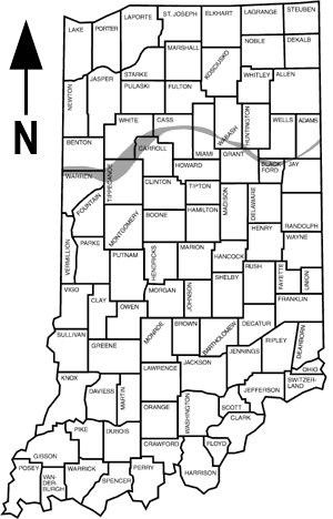
Map showing the location of the Lafayette (Teays) bedrock valley in Indiana.
- Download the entire document (10.6mb .pdf file)
- Introduction, Purpose and Scope, Geography of the Project Area, Physiography, Geologic Setting, Valley Fill Composition and Ground-Water Potential
- Ground-Water Availability
- Generalized Ground Water Availability of the Bedrock Aquifers Underlying the Lafayette (Teays) Bedrock Valley, Ground Water Flow - Potentiometric Surface, Ground Water Quality, Recharge, Conclusions, References Cited, chapters and Appendix A
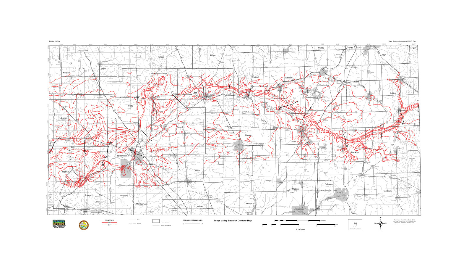
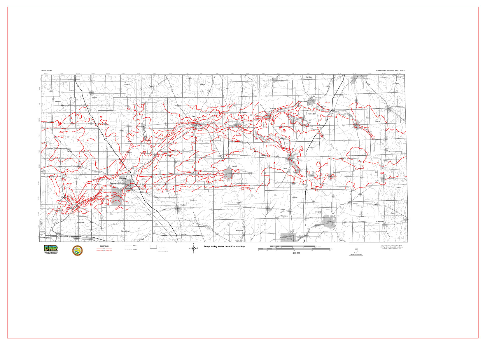
The document includes 2 plates which are also available for download. Both plates are in shapefile, .JPG, and .PDF format.